Sites and Monuments Record · Ireland
Children's burial ground
Cill Urlaí, County Kerry, Ireland
The record
- Townland
- Cill Urlaí
- County
- Kerry
- Country
- Ireland
- Latest-edition OS map
- Not indicated
- Coordinates
- 51.84487, -10.30506
- SMR number
- KE097-058----
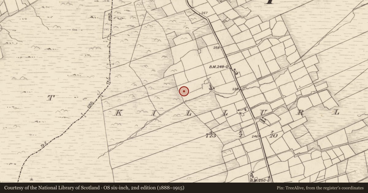
Slide toward Today to fade the historical sheet and see the modern map underneath.
David Rumsey Map Collection, Stanford LibrariesDavid Rumsey Map Collection, Stanford LibrariesDavid Rumsey Map Collection, Stanford LibrariesDavid Rumsey Map Collection, Stanford Libraries
4 historical maps cover this location, the earliest the 1753 map "Mappa geographica Regni Hiberniae" (David Rumsey Map Collection, Stanford Libraries).
Historical maps covering this location
- 1753 · Mappa geographica Regni Hiberniae (David Rumsey Map Collection, Stanford Libraries)
- 1841 · Ireland. (David Rumsey Map Collection, Stanford Libraries)
- 1869 · Ireland. (David Rumsey Map Collection, Stanford Libraries)
- 1891 · Ireland 16 (David Rumsey Map Collection, Stanford Libraries)
This record in the National Monuments Service's Historic Environment Viewer ↗
The National Monuments Service's description
This subrectangular site, not marked on the OS maps, is known locally as a ceallúnach. It is located in rough, NW sloping pasture and is bounded on its E and S sides by modern field walls. Its N side is defined by a poorly preserved stone wall. The enclosed area measures 11.5m N-S x 13.8m E-W. In the S half of the overgrown, stony interior are two block-like uprights and remnants of a structure with an internal diameter of 2.5m. A number of overgrown stony mounds also occur in the interior, and two conspicuous upright slabs, set 1.6m apart, occur at its N end. These average 1.5m high, .65m wide and .05m thick and one has a slight cruciform outline, which may be fortuitous. A third slab, of similar dimensions, lies prostrate immediately to N. This feature is known locally as a 'giant's grave'.
The above description is derived from A. O'Sullivan and J. Sheehan (compilers), 'The Iveragh peninsula: an archaeological survey of South Kerry'. Cork University Press (1996), no. 1027. In certain instances the entries have been revised and updated in the light of recent research.
Date of upload: 30 July 2013
Nearby in the register
- Standing stoneunder 1 mi
- Hut siteunder 1 mi
- Ritual site - holy wellunder 1 mi
- Children's burial groundunder 1 mi
Other entries of the same register within about three miles of this one, by straight line.