Sites and Monuments Record · Ireland
Children's burial ground
Ardsheelhane West, County Kerry, Ireland
The record
- Townland
- Ardsheelhane West
- County
- Kerry
- Country
- Ireland
- Latest-edition OS map
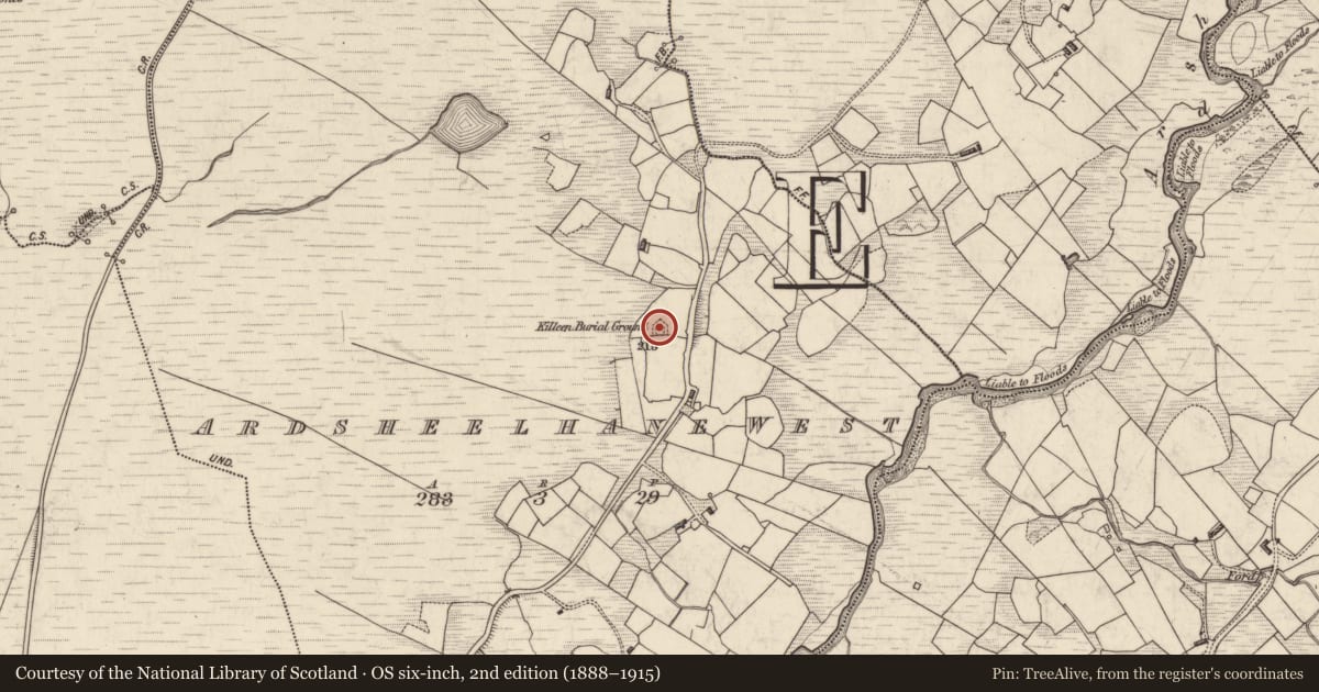
- Killeen Burial Ground
- Coordinates
- 51.86136, -9.88577
- SMR number
- KE091-077----
Slide toward Today to fade the historical sheet and see the modern map underneath.
David Rumsey Map Collection, Stanford LibrariesDavid Rumsey Map Collection, Stanford LibrariesDavid Rumsey Map Collection, Stanford LibrariesDavid Rumsey Map Collection, Stanford Libraries
4 historical maps cover this location, the earliest the 1790 map "Composite: Ireland." (David Rumsey Map Collection, Stanford Libraries).
Historical maps covering this location
- 1790 · Composite: Ireland. (David Rumsey Map Collection, Stanford Libraries)
- 1841 · Ireland. (David Rumsey Map Collection, Stanford Libraries)
- 1869 · Ireland. (David Rumsey Map Collection, Stanford Libraries)
- 1891 · Ireland 16 (David Rumsey Map Collection, Stanford Libraries)
This record in the National Monuments Service's Historic Environment Viewer ↗
The National Monuments Service's description
Killeen Burial Ground: Situated on the summit of a rise in boggy pasture, this enclosed site is located a short distance W of the Ardsheelhane river. It is noted as a burial place for children in the OSNB (Kilcrohane, 33). It abuts a field boundary on its S side and is enclosed elsewhere by a low bank of earth and stone, revetted with drystone masonry. The bank is lm high and lm wide, and it encloses a D-shaped area which measures 11m N-S x 10m E-W. This is raised above external ground level and contains a dense scattering of loose stone and a number of upright grave-markers, averaging .3m high, many of which are arranged in N-S rows. A gap in the boundary at S is flanked by a pair of upright slabs.
The above description is derived from O'Sullivan, A. and Sheehan, J. (compilers) 'The Iveragh peninsula: an archaeological survey of South Kerry'. Cork University press. (1996), no. 978. In certain instances the entries have been revised and updated in the light of recent research.
Date of upload: 18 June 2013
Nearby in the register
- Souterrainunder 1 mi
- Barrow - ring-barrowunder 1 mi
- Hut siteunder 1 mi
- Ringfort - cashelunder 1 mi
Other entries of the same register within about three miles of this one, by straight line.