Sites and Monuments Record · Ireland
Enclosure
Fermoyle (Dunkerron South By.), County Kerry, Ireland
The record
- Townland
- Fermoyle (Dunkerron South By.)
- County
- Kerry
- Country
- Ireland
- Latest-edition OS map
- Not indicated
- Coordinates
- 51.88225, -9.91191
- SMR number
- KE090-009004-
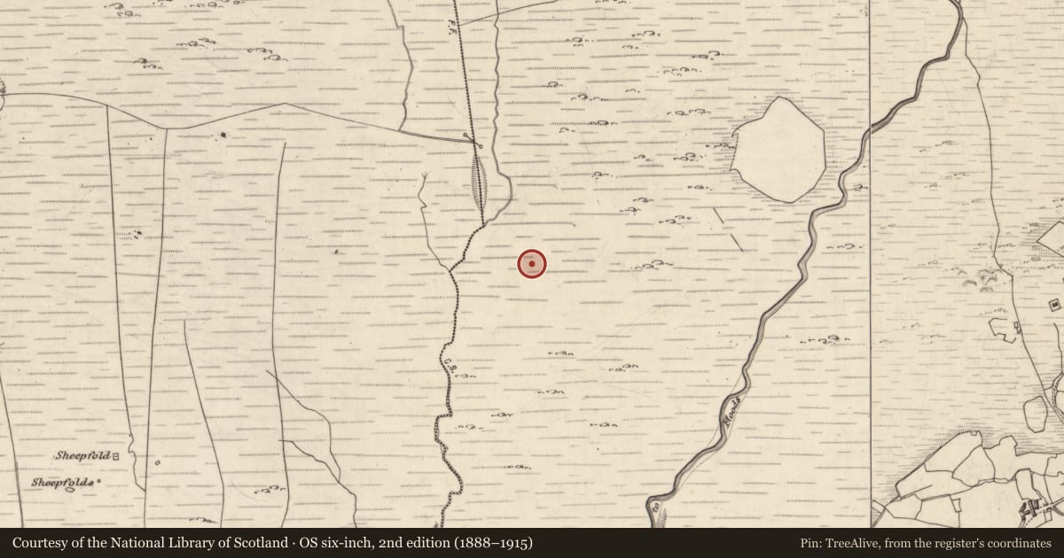
Slide toward Today to fade the historical sheet and see the modern map underneath.
David Rumsey Map Collection, Stanford LibrariesDavid Rumsey Map Collection, Stanford LibrariesDavid Rumsey Map Collection, Stanford LibrariesDavid Rumsey Map Collection, Stanford Libraries
4 historical maps cover this location, the earliest the 1790 map "Composite: Ireland." (David Rumsey Map Collection, Stanford Libraries).
Historical maps covering this location
- 1790 · Composite: Ireland. (David Rumsey Map Collection, Stanford Libraries)
- 1841 · Ireland. (David Rumsey Map Collection, Stanford Libraries)
- 1869 · Ireland. (David Rumsey Map Collection, Stanford Libraries)
- 1891 · Ireland 16 (David Rumsey Map Collection, Stanford Libraries)
This record in the National Monuments Service's Historic Environment Viewer ↗
The National Monuments Service's description
The ruined remains of two stone enclosures, a hut and a number of associated walls are located in peat-covered terrain below the ridge that joins Knocknagantee and Finnararagh mountains. Loughs Eagles and Coomnacronia are located on either side of the ridge, and the site affords extensive views S along the Sneem river valley to Kenmare Bay.
A circular stone enclosure (KE090-009001-) with internal diameters of 12m N S x 11.6m E-W is located at the N end of this complex. It is partly overlain by later walling, particularly at W, and a modern enclosure abuts its internal face at SE. The enclosure wall survives to a maximum height of .5m and is on average 1.5m wide. It consists of a rubble core faced externally and internally with large flat slabs. Intermittent boulder-like slabs, set on edge, flank both its inner and outer faces. An upright slab, 1.2m high, defines the N side of a 1.1m wide entrance gap, while two smaller uprights form the other side.
The above description is derived from A. O'Sullivan and J. Sheehan (compilers), 'The Iveragh peninsula: an archaeological survey of South Kerry'. Cork University Press (1996), no. 47. In certain instances the entries have been revised and updated in the light of recent research.
Date of upload: 28 July 2013
Nearby in the register
- Hut siteunder 1 mi
- Enclosureunder 1 mi
- Field boundaryunder 1 mi
- Enclosureunder 1 mi
Other entries of the same register within about three miles of this one, by straight line.