Sites and Monuments Record · Ireland
House - early medieval
Bray, County Kerry, Ireland
The record
- Townland
- Bray
- County
- Kerry
- Country
- Ireland
- First-edition OS map
- NULL
- Latest-edition OS map
- Not indicated
- Coordinates
- 51.89060, -10.40804
- SMR number
- KE087-025017-
Slide toward Today to fade the historical sheet and see the modern map underneath.
David Rumsey Map Collection, Stanford LibrariesDavid Rumsey Map Collection, Stanford Libraries
2 historical maps cover this location, the earliest the 1753 map "Mappa geographica Regni Hiberniae" (David Rumsey Map Collection, Stanford Libraries).
Historical maps covering this location
- 1753 · Mappa geographica Regni Hiberniae (David Rumsey Map Collection, Stanford Libraries)
- 1841 · Ireland. (David Rumsey Map Collection, Stanford Libraries)
This record in the National Monuments Service's Historic Environment Viewer ↗
The National Monuments Service's description
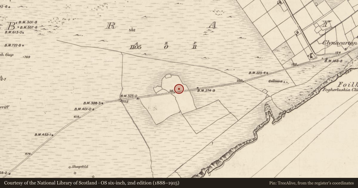
On the SE-facing slopes of Bray Head on Valencia Island. This was excavated in 1999 (Hayden 1999) revealing the remains of a roughly circular house (diam. 3.4m) which was defined by a drystone wall (T 0.9-0.95m; H 0.35m) SW-NW and NNE-E and by a foundation trench NW-NNE. The S portion of the hut site was truncated by the building of a later house (KE087-025008-) and the N portion was largely removed when another house (KE087-025013-) was built. The surviving drystone wall comprised large stones which were laid with their long axes along the line of the wall. The foundation trench along the N arc was cut into the upslope. Its narrowness suggests that this part of the wall could have been composed of vertically set stones or a slab-lined wall. There were two hearths, one centrally placed and the other inside the E wall of the house. A central, and probably the primary, hearth appeared to have been lined but only the slot trench for the lining along the E side survived. An annular wall (T 0.8-0.9m) was revealed outside the E arc of the house. This was composed of boulder clay revetted by a stone facing which was set in a shallow trench. This annular wall had cut through the NE arc of an adjacent house (KE087-025008-). The excavation of this house and another house (KE087-025016-) showed that they belonged to Phase II in a successive sequence of at least six phases of construction in this particular area of Bray Head. An enclosure (KE087-025014-), the N arc of which lies 7m to the N, may be associated with this house. (Hayden 1999)
The above description is derived from the published 'Archaeological Inventory of County Kerry. Volume I: South-West Kerry' (Dublin: Stationery Office, 2009). In certain instances the entries have been revised and updated in the light of recent research.
Date of upload: 30 May 2011
Nearby in the register
- Souterrainunder 1 mi
- House - early medievalunder 1 mi
- House - early medievalunder 1 mi
- House - early medievalunder 1 mi
Other entries of the same register within about three miles of this one, by straight line.