Sites and Monuments Record · Ireland
Rock art
Shronahiree More, County Kerry, Ireland
The record
- Townland
- Shronahiree More
- County
- Kerry
- Country
- Ireland
- Coordinates
- 51.96659, -9.83846
- SMR number
- KE082-101----
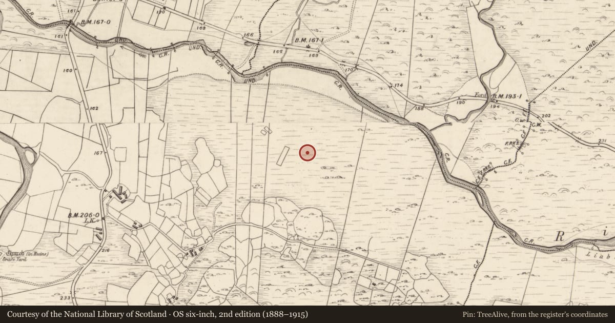
Slide toward Today to fade the historical sheet and see the modern map underneath.
David Rumsey Map Collection, Stanford LibrariesDavid Rumsey Map Collection, Stanford LibrariesDavid Rumsey Map Collection, Stanford LibrariesDavid Rumsey Map Collection, Stanford Libraries
4 historical maps cover this location, the earliest the 1790 map "Composite: Ireland." (David Rumsey Map Collection, Stanford Libraries).
Historical maps covering this location
- 1790 · Composite: Ireland. (David Rumsey Map Collection, Stanford Libraries)
- 1841 · Ireland. (David Rumsey Map Collection, Stanford Libraries)
- 1869 · Ireland. (David Rumsey Map Collection, Stanford Libraries)
- 1891 · Ireland 16 (David Rumsey Map Collection, Stanford Libraries)
This record in the National Monuments Service's Historic Environment Viewer ↗
The National Monuments Service's description
In mountain heath (61m OD), on a SE-facing slope of small, yet prominent hillock, on an otherwise N-facing slope. A large, very rough and fractured sandstone boulder (dims. 1.90m NW-SE; 4.86m NE-SW; max. H 2.33m at SE) which is subrectangular in plan (long-axis NE-SW). It has a generally flat decorated surface (dims. 1.04m NW-SE; 1.40m NE-SW ) bearing extremely weathered motifs which have been affected by freeze-thaw action. The decorative elements consist of three very faint motifs: A semi-circular ring (dims. 39cm N-S; 30cm E-W; Wth 1.5cm; D 5mm) which is open SW->W->NW, is located centrally along N edge of stone. There is a hollow area of water (D 15mm) at SW terminus of ring groove and there is a freeze/thaw fracture at the NW terminus. A large cupmark (diam. 7.5cm; D 18mm) is located c. 48cm to S and is transected by a fracture (long-axis NE-SW) that runs almost the entire length of the stone. A smaller, possible cupmark (diam. 6cm; D 4mm) is located c. 36cm to S of large cupmark motif. There are other large boulders upon this hillock, however these do not appear to bear any obvious motifs.
Compiled by: Alison McQueen and Vera Rahilly
Date of upload: 26 January 2018
Nearby in the register
- Rock artunder 1 mi
- Hut siteunder 1 mi
- Rock artunder 1 mi
- Ringfort - rathunder 1 mi
Other entries of the same register within about three miles of this one, by straight line.