Sites and Monuments Record · Ireland
Megalithic structure
Coomdeeween, County Kerry, Ireland
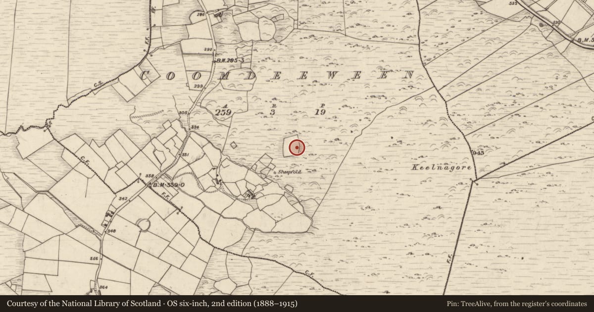
The record
- Townland
- Coomdeeween
- County
- Kerry
- Country
- Ireland
- Latest-edition OS map
- Not indicated
- Coordinates
- 51.93665, -10.12182
- SMR number
- KE080-039----
Slide toward Today to fade the historical sheet and see the modern map underneath.
David Rumsey Map Collection, Stanford LibrariesDavid Rumsey Map Collection, Stanford LibrariesDavid Rumsey Map Collection, Stanford LibrariesDavid Rumsey Map Collection, Stanford Libraries
4 historical maps cover this location, the earliest the 1790 map "Composite: Ireland." (David Rumsey Map Collection, Stanford Libraries).
Historical maps covering this location
- 1790 · Composite: Ireland. (David Rumsey Map Collection, Stanford Libraries)
- 1841 · Ireland. (David Rumsey Map Collection, Stanford Libraries)
- 1869 · Ireland. (David Rumsey Map Collection, Stanford Libraries)
- 1891 · Ireland 16 (David Rumsey Map Collection, Stanford Libraries)
This record in the National Monuments Service's Historic Environment Viewer ↗
The National Monuments Service's description
This ruined monument is located in poor land at the head of a small valley, between Keelnagore and Knockavahaun mountains. The valley opens to W and provides an extensive view across tracts of bog to Bentee mountain. Five stones survive, two of which may be identified as the side-stones of a chamber, while one probably served as an end-stone. On average these stones measure .72m high, 1.1m long and .2m wide. The S side-stone and the end-stone have collapsed inwardly, and lying askew on top of the former is the fourth stone, .9m .35m, which may originally have served as a roof-stone. The fifth stone lies just to the W of this arrangement, but may not have formed part of the original structure. Abutting the perimeter of the structure to N and E is a sod-covered pile of small stones and rocks, which may be the remnants of a cairn.
The above description is derived from A. O'Sullivan and J. Sheehan (compilers), 'The Iveragh peninsula: an archaeological survey of South Kerry'. Cork University Press (1996), no. 86. In certain instances the entries have been revised and updated in the light of recent research.
Date of upload: 28 July 2013
Nearby in the register
- Enclosureunder 1 mi
- Fulacht fiaunder 1 mi
- Ringfort - rathunder 1 mi
- Hut siteunder 1 mi
Other entries of the same register within about three miles of this one, by straight line.