Sites and Monuments Record · Ireland
House - early medieval
Kimego West, County Kerry, Ireland
The record
- Townland
- Kimego West
- County
- Kerry
- Country
- Ireland
- Latest-edition OS map
- Not indicated
- Coordinates
- 51.95809, -10.26199
- SMR number
- KE079-016010-
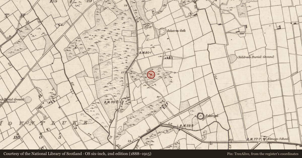
Slide toward Today to fade the historical sheet and see the modern map underneath.
David Rumsey Map Collection, Stanford LibrariesDavid Rumsey Map Collection, Stanford LibrariesDavid Rumsey Map Collection, Stanford LibrariesDavid Rumsey Map Collection, Stanford Libraries
4 historical maps cover this location, the earliest the 1790 map "Composite: Ireland." (David Rumsey Map Collection, Stanford Libraries).
Historical maps covering this location
- 1790 · Composite: Ireland. (David Rumsey Map Collection, Stanford Libraries)
- 1841 · Ireland. (David Rumsey Map Collection, Stanford Libraries)
- 1869 · Ireland. (David Rumsey Map Collection, Stanford Libraries)
- 1891 · Ireland 16 (David Rumsey Map Collection, Stanford Libraries)
This record in the National Monuments Service's Historic Environment Viewer ↗
The National Monuments Service's description
Houses: (1 - KE079-016010-) Abutting the face of the enclosing wall at W, the wall of this circular house, 4.7m in internal diameter, averages 1.5m wide at base and is preserved to a height of 1.8m. It is well-faced internally and features a strongly corbelled incline. Excavation revealed several postholes in the interior of the house, which indicate that its roof may have been a thatched or sod-covered timber construction supported on posts set in the floor. Another posthole, found just inside the 1m wide entrance at E, presumably held a door-post. The entrance to a souterrain is located close to the opposite side of the doorway.
The above description is derived from A. O'Sullivan and J. Sheehan (compilers), 'The Iveragh peninsula: an archaeological survey of South Kerry'. Cork University Press (1996), no. 602. In certain instances the entries have been revised and updated in the light of recent research.
Date of upload: 29 July 2013
This monument is subject to a preservation order made under the National Monuments Acts 1930 to 2014 (PO no. 85/1940).
Nearby in the register
- Decorated stoneunder 1 mi
- Souterrainunder 1 mi
- House - early medievalunder 1 mi
- Ringfort - cashelunder 1 mi
Other entries of the same register within about three miles of this one, by straight line.