Sites and Monuments Record · Ireland
Field boundary
Killelan West, County Kerry, Ireland
The record
- Townland
- Killelan West
- County
- Kerry
- Country
- Ireland
- Latest-edition OS map
- Not indicated
- Coordinates
- 51.95425, -10.31355
- SMR number
- KE079-002002-
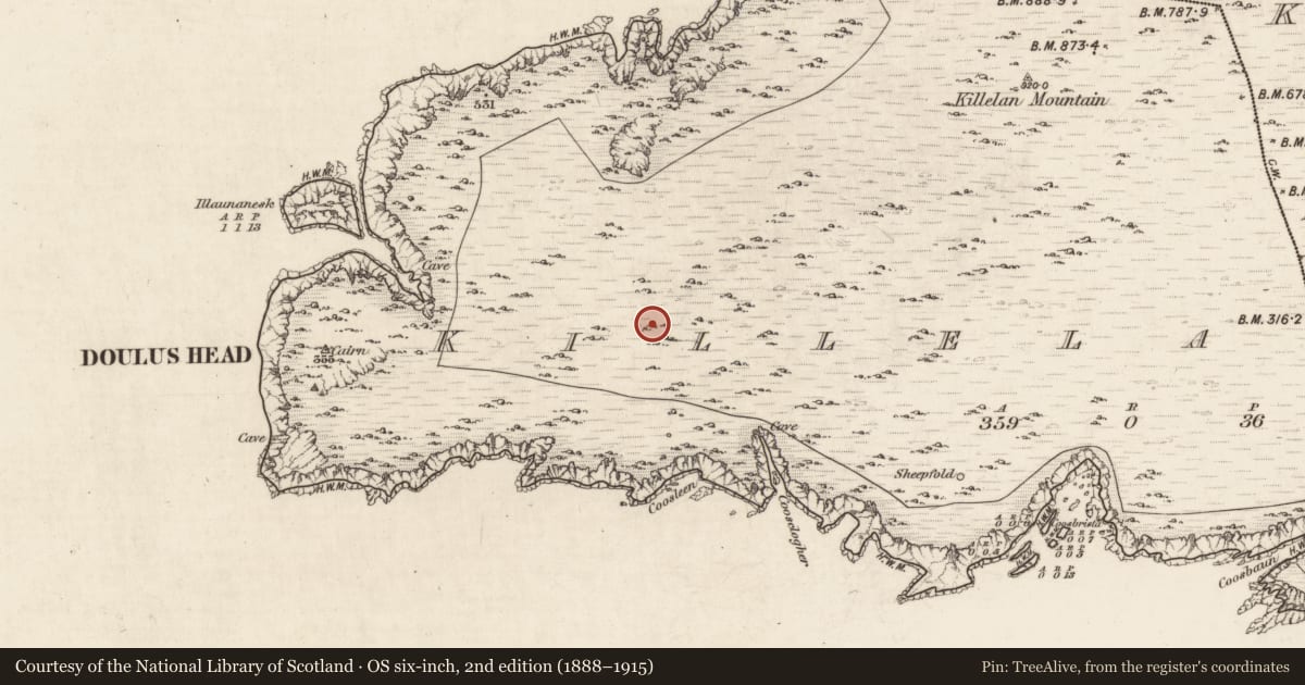
Slide toward Today to fade the historical sheet and see the modern map underneath.
David Rumsey Map Collection, Stanford LibrariesDavid Rumsey Map Collection, Stanford LibrariesDavid Rumsey Map Collection, Stanford LibrariesDavid Rumsey Map Collection, Stanford Libraries
4 historical maps cover this location, the earliest the 1753 map "Mappa geographica Regni Hiberniae" (David Rumsey Map Collection, Stanford Libraries).
Historical maps covering this location
- 1753 · Mappa geographica Regni Hiberniae (David Rumsey Map Collection, Stanford Libraries)
- 1841 · Ireland. (David Rumsey Map Collection, Stanford Libraries)
- 1869 · Ireland. (David Rumsey Map Collection, Stanford Libraries)
- 1891 · Ireland 16 (David Rumsey Map Collection, Stanford Libraries)
This record in the National Monuments Service's Historic Environment Viewer ↗
The National Monuments Service's description
On open mountain terrain, in the vicinity of old field fences KE079-002002-, on the S slopes of Killelan overlooking Valencia Harbour. A pair of overgrown conjoined huts of corbelled drystone construction, on a stone-revetted terrace. Situated adjacent at E, a rectangular hut (KE079-002003-), probably later. The larger conjoined hut KE079-002---- at E is of circular plan and measures 4.6m x 4.5m in internal diameter. The entrance may be located at E, but the fill of stone collapse makes identification uncertain. The lintelled passage at W communicates with the smaller subcircular hut at W and measures .7m wide. Rubble infill blocks its W end.
The second hut KE079-002001- measures 5.8m x 3.6m internally. The rectangular hut, abutting the external face of larger conjoined hut at E, survives as an overgrown, stony bank with an entrance at S. D: 4.35m x 3.9m. A sheepfold is located against its S side.
The above description is derived from A. O'Sullivan and J. Sheehan (compilers), 'The Iveragh peninsula: an archaeological survey of South Kerry'. Cork University Press (1996), no. 1311. In certain instances the entries have been revised and updated in the light of recent research.
Date of upload: 1 August 2013
Nearby in the register
Other entries of the same register within about three miles of this one, by straight line.