Sites and Monuments Record · Ireland
Hut site
Cool East, County Kerry, Ireland
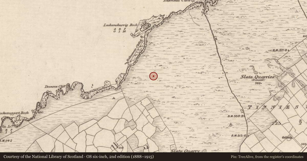
The record
- Townland
- Cool East
- County
- Kerry
- Country
- Ireland
- Latest-edition OS map
- Not indicated
- Coordinates
- 51.91682, -10.36645
- SMR number
- KE078-027----
Slide toward Today to fade the historical sheet and see the modern map underneath.
David Rumsey Map Collection, Stanford LibrariesDavid Rumsey Map Collection, Stanford Libraries
2 historical maps cover this location, the earliest the 1753 map "Mappa geographica Regni Hiberniae" (David Rumsey Map Collection, Stanford Libraries).
Historical maps covering this location
- 1753 · Mappa geographica Regni Hiberniae (David Rumsey Map Collection, Stanford Libraries)
- 1841 · Ireland. (David Rumsey Map Collection, Stanford Libraries)
This record in the National Monuments Service's Historic Environment Viewer ↗
The National Monuments Service's description
Located above Foilnanean cliffs and W of Geokaun, Valencia Island. The ruined foundations of two huts are located within an old field system of linear and, possibly earlier, curvilinear field walls (Mitchell 1989, 37-40). Other possible structures nearby may be outhouses or animal shelters.
(1) KE078-027----; A roughly oval-shaped accumulation of stone, with coursing evident beneath the collapse. Overall diameter: 7m x 6m.
(2) KE078-027002-; Toward the N end of the complex, a slab-lined oval hut with an entrance at NE, .8m wide. D: 2.7m x 1.7m. H: .8m.
The above description is derived from A. O'Sullivan and J. Sheehan (compilers), 'The Iveragh peninsula: an archaeological survey of South Kerry'. Cork University Press (1996), no. 1206. In certain instances the entries have been revised and updated in the light of recent research.
Date of upload: 31 July 2013
Nearby in the register
- Field systemunder 1 mi
- Megalithic tomb - wedge tombunder 1 mi
- Hut siteunder 1 mi
- Hut siteunder 1 mi
Other entries of the same register within about three miles of this one, by straight line.