Sites and Monuments Record · Ireland
Hut site
Derrynafinnia, County Kerry, Ireland
The record
- Townland
- Derrynafinnia
- County
- Kerry
- Country
- Ireland
- Coordinates
- 52.01207, -9.25457
- SMR number
- KE076-083004-
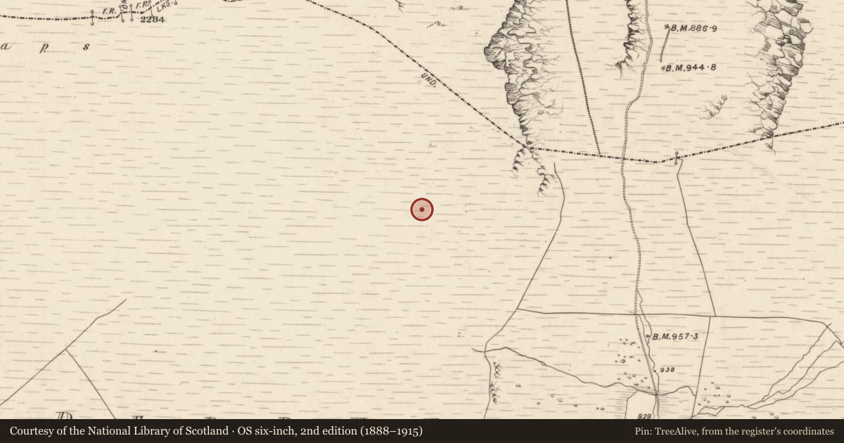
Slide toward Today to fade the historical sheet and see the modern map underneath.
David Rumsey Map Collection, Stanford LibrariesDavid Rumsey Map Collection, Stanford LibrariesDavid Rumsey Map Collection, Stanford LibrariesDavid Rumsey Map Collection, Stanford Libraries
4 historical maps cover this location, the earliest the 1790 map "Composite: Ireland." (David Rumsey Map Collection, Stanford Libraries).
Historical maps covering this location
- 1790 · Composite: Ireland. (David Rumsey Map Collection, Stanford Libraries)
- 1865 · Ireland, (South) Sheet. (David Rumsey Map Collection, Stanford Libraries)
- 1883 · Ireland 3. (David Rumsey Map Collection, Stanford Libraries)
- 1891 · Ireland 16 (David Rumsey Map Collection, Stanford Libraries)
This record in the National Monuments Service's Historic Environment Viewer ↗
The National Monuments Service's description
'A circular hut measuring 1.8m east-west by 2.4m north south internally, the walls measuring 0.4m in height, and up to 0.8m wide.'
The above description was published in F. Coyne, 'Islands in the clouds: an upland archaeological study on Mount Brandon and the Paps, Co. Kerry.' (Kerry Co. Council in association with Aegis Archaeology, 2006).
Date of upload: 15 December 2011
Nearby in the register
Other entries of the same register within about three miles of this one, by straight line.