Sites and Monuments Record · Ireland
Kiln - lime
Derryreag, County Kerry, Ireland
The record
- Townland
- Derryreag
- County
- Kerry
- Country
- Ireland
- First-edition OS map
- NULL
- Latest-edition OS map
- Indicated
- Coordinates
- 51.98017, -9.27634
- SMR number
- KE076-066----
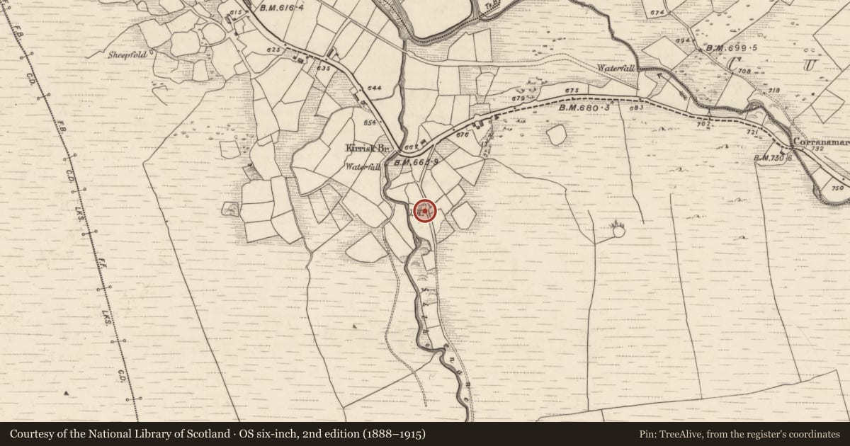
Slide toward Today to fade the historical sheet and see the modern map underneath.
David Rumsey Map Collection, Stanford LibrariesDavid Rumsey Map Collection, Stanford LibrariesDavid Rumsey Map Collection, Stanford LibrariesDavid Rumsey Map Collection, Stanford Libraries
4 historical maps cover this location, the earliest the 1790 map "Composite: Ireland." (David Rumsey Map Collection, Stanford Libraries).
Historical maps covering this location
- 1790 · Composite: Ireland. (David Rumsey Map Collection, Stanford Libraries)
- 1865 · Ireland, (South) Sheet. (David Rumsey Map Collection, Stanford Libraries)
- 1883 · Ireland 3. (David Rumsey Map Collection, Stanford Libraries)
- 1891 · Ireland 16 (David Rumsey Map Collection, Stanford Libraries)
This record in the National Monuments Service's Historic Environment Viewer ↗
The National Monuments Service's description
In pasture, built into a W-facing slope on the W side of a minor road. A heavily overgrown mid/late 19th-century limekiln. The random rubble sandstone front wall (Wth c. 2.2m; H c. 3.8m) faces W. The central lintelled recess (H c. 2m; Wth 1.3m; D 2.4m) has sloping slabs to the rear. The funnel (diam. c. 1.4m) is stone lined.
Compiled by: Elizabeth Byrne, Ursula Egan and Sheila Ronan, Archaeological Survey Unit, University College, Cork.
Date of upload: 31 January 2011
Nearby in the register
- Bridgeunder 1 mi
- Souterrainunder 1 mi
- Enclosureunder 1 mi
- Bridgeunder 1 mi
Other entries of the same register within about three miles of this one, by straight line.