Sites and Monuments Record · Ireland
Rock art
Kealduff Upper, County Kerry, Ireland
The record
- Townland
- Kealduff Upper
- County
- Kerry
- Country
- Ireland
- Coordinates
- 52.01108, -10.01283
- SMR number
- KE071-159----
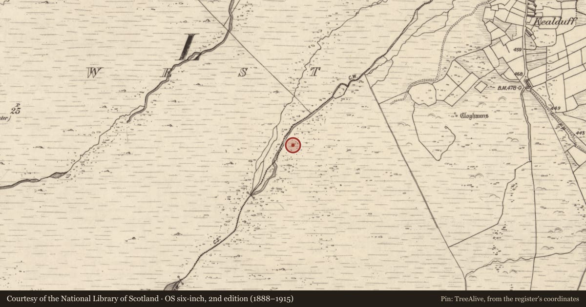
Slide toward Today to fade the historical sheet and see the modern map underneath.
David Rumsey Map Collection, Stanford LibrariesDavid Rumsey Map Collection, Stanford LibrariesDavid Rumsey Map Collection, Stanford LibrariesDavid Rumsey Map Collection, Stanford Libraries
4 historical maps cover this location, the earliest the 1753 map "Mappa geographica Regni Hiberniae" (David Rumsey Map Collection, Stanford Libraries).
Historical maps covering this location
- 1753 · Mappa geographica Regni Hiberniae (David Rumsey Map Collection, Stanford Libraries)
- 1790 · Composite: Ireland. (David Rumsey Map Collection, Stanford Libraries)
- 1869 · Ireland. (David Rumsey Map Collection, Stanford Libraries)
- 1891 · Ireland 16 (David Rumsey Map Collection, Stanford Libraries)
This record in the National Monuments Service's Historic Environment Viewer ↗
The National Monuments Service's description
In rocky mountain heath (198m OD), on a NE-facing slope, located within a settlement of hut sites, enclosures and field walls. Excellent views of Behy river valley to NE with Seefin and Droum Mountains in background. A smooth and fractured sandstone boulder (dims. 1.6m NW-SE; 1.23m NE-SW; H 0.38m at NW) which is sub-oval in plan. It has a roughly oval decorated surface (dims. 1.3m NW-SE; 0.95m NE-SW) with a very gentle NE-facing aspect bearing a number of motifs. The decorative elements consist of ten cupmarks ranging in size from small (diam. 3cm; D 6mm) to large (diam. 5.5cm; D 9mm) across the western half of the boulder. A conjoined pair of picked rings form a figure-of-eight motif (total dims. 18cm NW-SE; 10cm NE-SW; ring Wth 8mm; D 2-3mm) toward the centre of the decorated surface. A large concentration of pickmarks (dims. 18cm N-S; 20cm E-W) arranged around a single cupmark (diam. 2.5cm; D 4mm) are off-centre to S. Other random areas of picking are in vicinity of the motifs. Approximately sixteen pockmarks (average diam. 1cm; D 2-4mm) across ESE area of surface, may also be rock art.
Compiled by: Alison McQueen and Vera Rahilly
Date of upload: 24 January 2018
Nearby in the register
Other entries of the same register within about three miles of this one, by straight line.