Sites and Monuments Record · Ireland
Rock art
Letter West, County Kerry, Ireland
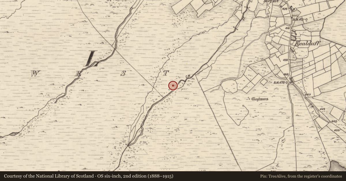
The record
- Townland
- Letter West
- County
- Kerry
- Country
- Ireland
- First-edition OS map
- Not indicated
- Latest-edition OS map
- Not indicated
- Coordinates
- 52.01249, -10.01134
- SMR number
- KE071-132----
Slide toward Today to fade the historical sheet and see the modern map underneath.
David Rumsey Map Collection, Stanford LibrariesDavid Rumsey Map Collection, Stanford LibrariesDavid Rumsey Map Collection, Stanford LibrariesDavid Rumsey Map Collection, Stanford Libraries
4 historical maps cover this location, the earliest the 1753 map "Mappa geographica Regni Hiberniae" (David Rumsey Map Collection, Stanford Libraries).
Historical maps covering this location
- 1753 · Mappa geographica Regni Hiberniae (David Rumsey Map Collection, Stanford Libraries)
- 1790 · Composite: Ireland. (David Rumsey Map Collection, Stanford Libraries)
- 1869 · Ireland. (David Rumsey Map Collection, Stanford Libraries)
- 1891 · Ireland 16 (David Rumsey Map Collection, Stanford Libraries)
This record in the National Monuments Service's Historic Environment Viewer ↗
The National Monuments Service's description
Rock art identified and described by Aoibheann Lambe as; 'A recently deturfed earthfast panel, its flat level surface is inscribed with possibly 20+ cupmarks as well as grooves'.
See attached photographs courtesy of Aoibheann Lambe
Compiled by: Caimin O'Brien based on details provided by Aoibheann Lambe
Date of upload: 7 October 2022
Nearby in the register
Other entries of the same register within about three miles of this one, by straight line.