Sites and Monuments Record · Ireland
Rock art
Coomasaharn, County Kerry, Ireland
The record
- Townland
- Coomasaharn
- County
- Kerry
- Country
- Ireland
- Coordinates
- 52.00884, -9.99025
- SMR number
- KE071-112----
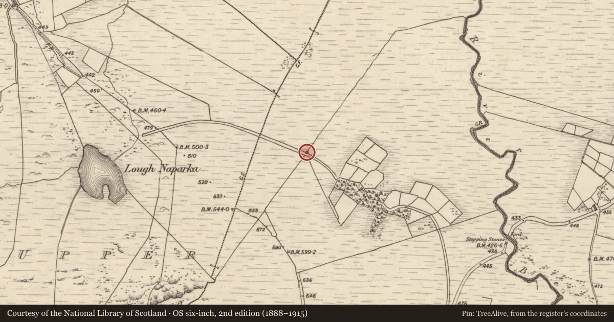
Slide toward Today to fade the historical sheet and see the modern map underneath.
David Rumsey Map Collection, Stanford LibrariesDavid Rumsey Map Collection, Stanford LibrariesDavid Rumsey Map Collection, Stanford LibrariesDavid Rumsey Map Collection, Stanford Libraries
4 historical maps cover this location, the earliest the 1753 map "Mappa geographica Regni Hiberniae" (David Rumsey Map Collection, Stanford Libraries).
Historical maps covering this location
- 1753 · Mappa geographica Regni Hiberniae (David Rumsey Map Collection, Stanford Libraries)
- 1790 · Composite: Ireland. (David Rumsey Map Collection, Stanford Libraries)
- 1869 · Ireland. (David Rumsey Map Collection, Stanford Libraries)
- 1891 · Ireland 16 (David Rumsey Map Collection, Stanford Libraries)
This record in the National Monuments Service's Historic Environment Viewer ↗
The National Monuments Service's description
In a land drain (long-axis NE-SW) and partially covered by bog, on a gentle NE-facing slope (154m OD). Field boundary flanks drain to SE and corner of field is c. 7 m to SW. Some peaty soil removed to expose the decorated surface as much as possible. Views of Behy River valley to N, from upper edge of drain. A slightly rough and fractured sandstone rock (dims. 1.36m NE-SW; 0.73m NW-SE; 0.34m (max. H to base of drain) with a long, irregular-shaped decorated surface (dims. 1.01m NE-SW; 0.53m NW-SE) which has a flat area on top and a slight NW-tilting aspect. The rock art consists of thirty-three cupmarks and a linear groove (long-axis NE-SW; Wth 2cm; D 3mm) off-centre to SE of the decorated surface, which alternates to a curvilinear groove of rough pickmarks at the SW-end. This linear/curvilinear groove appears to divide the decorated surface, having twenty-five of the cupmarks to NW and eight to SE. Nine of the cupmarks to NW form a rosette-style motif which consists of a large, central cupmark (diam. 7cm; D 11mm) enclosed by eight smaller cupmarks (average diam. 4cm; D 3mm). This rosette motif is enclosed by the curvilinear groove SE->W->NW. There are a pair of small cupmarks (average diam. 4cm; D 3mm) to N of the rosette and a single cupmark of similar size, to W of the curvilinear motif. Eleven cupmarks (average diam. 4cm; D 3mm) are to E of the rosette motif, on the NW-side of the linear groove. Eight cupmarks (diam. 4-5cm; D 3mm) are located to SE of the linear/curvilinear groove and of these, a large cupmark (diam. 6cm; D 4mm) is at SW-end of decorated surface. Decoration continues under bank of peat at edge of drain.
Compiled by: Alison McQueen and Vera Rahilly
Date of upload: 27 March 2017
Nearby in the register
Other entries of the same register within about three miles of this one, by straight line.