Sites and Monuments Record · Ireland
Hut site
Coulagh, County Kerry, Ireland
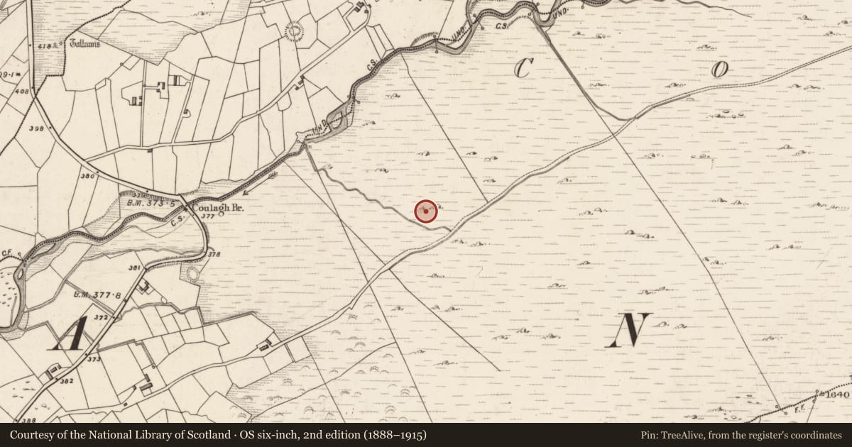
The record
- Townland
- Coulagh
- County
- Kerry
- Country
- Ireland
- First-edition OS map
- NULL
- Latest-edition OS map
- Not indicated
- Coordinates
- 51.98383, -10.07446
- SMR number
- KE070-122----
Slide toward Today to fade the historical sheet and see the modern map underneath.
David Rumsey Map Collection, Stanford LibrariesDavid Rumsey Map Collection, Stanford LibrariesDavid Rumsey Map Collection, Stanford LibrariesDavid Rumsey Map Collection, Stanford Libraries
4 historical maps cover this location, the earliest the 1790 map "Composite: Ireland." (David Rumsey Map Collection, Stanford Libraries).
Historical maps covering this location
- 1790 · Composite: Ireland. (David Rumsey Map Collection, Stanford Libraries)
- 1841 · Ireland. (David Rumsey Map Collection, Stanford Libraries)
- 1869 · Ireland. (David Rumsey Map Collection, Stanford Libraries)
- 1891 · Ireland 16 (David Rumsey Map Collection, Stanford Libraries)
This record in the National Monuments Service's Historic Environment Viewer ↗
The National Monuments Service's description
Within a field system (KE070-119----). The remains of a circular hut site (2.7m x 2.6m) defined by a drystone wall (T 0.7m; H 1.4m) comprising flat rubble slabs, laid horizontally. The hut site is built against outcropping rock at W. The E portion of the hut site has been damaged by a drain. The present access is through a breach along the E arc. An upright stone adjacent to the breach may have served as a jambstone and may form part of the original entrance. Apart from the N portion of the interior, the internal ground level is lower than the external ground level. There is an annexe (L 2m; Wth 1.2m) of drystone construction to the NW of the hut site. Access to the annexe from the hut site is via a flat-lintelled doorway (Wth 0.57m; H 0.67m) in the NW wall of the hut site. External access to the annexe is through a now blocked-up entrance at its NW side. (Harte 2002, 62-3, 147-8, no. D502)
The above description is derived from the published 'Archaeological Inventory of County Kerry. Volume I: South-West Kerry' (Dublin: Stationery Office, 2009). In certain instances the entries have been revised and updated in the light of recent research.
Date of upload: 30 May 2011
Nearby in the register
- Hut siteunder 1 mi
- Hut siteunder 1 mi
- Structureunder 1 mi
- Metalworking siteunder 1 mi
Other entries of the same register within about three miles of this one, by straight line.