Sites and Monuments Record · Ireland
Children's burial ground
Caherlehillan, County Kerry, Ireland
The record
- Townland
- Caherlehillan
- County
- Kerry
- Country
- Ireland
- First-edition OS map
- NULL
- Latest-edition OS map
- Not indicated
- Coordinates
- 51.98602, -10.07884
- SMR number
- KE070-043001-
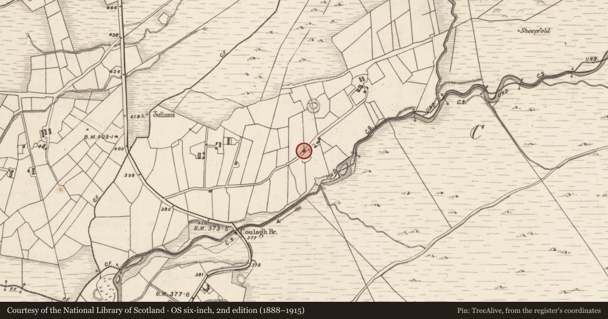
Slide toward Today to fade the historical sheet and see the modern map underneath.
David Rumsey Map Collection, Stanford LibrariesDavid Rumsey Map Collection, Stanford LibrariesDavid Rumsey Map Collection, Stanford LibrariesDavid Rumsey Map Collection, Stanford Libraries
4 historical maps cover this location, the earliest the 1790 map "Composite: Ireland." (David Rumsey Map Collection, Stanford Libraries).
Historical maps covering this location
- 1790 · Composite: Ireland. (David Rumsey Map Collection, Stanford Libraries)
- 1841 · Ireland. (David Rumsey Map Collection, Stanford Libraries)
- 1869 · Ireland. (David Rumsey Map Collection, Stanford Libraries)
- 1891 · Ireland 16 (David Rumsey Map Collection, Stanford Libraries)
This record in the National Monuments Service's Historic Environment Viewer ↗
The National Monuments Service's description
In the NE quadrant of an ecclesiastical enclosure (KE070-043----). Portion of the burial ground was excavated during the undergraduate training programme of the Department of Archaeology, UCC, between 1992 and 2004 (see Sheehan 1994, 41-2; 1995, 43-4; 1996, 40-41; 1997, 47; 1998, 82; 2000a, 89; 2000b, 112; 2004, 211-12; 2006, 214). Prior to excavation it comprised an irregular area (c. 14m E-W; c. 11m N-S) occupied by many plain grave-markers. Over one hundred graves were excavated, including both stone-lined and dug examples, many of which contained quartz pebbles. Excavation revealed evidence for a wooden church (KE070-043007-) underlying the burial ground and two cross-slabs (KE070-043006-, KE070-0430011-) were also recovered from it. (O'Sullivan and Sheehan 1996, 263-5, no. 934).
The above description is derived from the published 'Archaeological Inventory of County Kerry. Volume I: South-West Kerry' (Dublin: Stationery Office, 2009). In certain instances the entries have been revised and updated in the light of recent research.
Date of upload: 30 May 2011
Nearby in the register
- Cross-slabunder 1 mi
- Churchunder 1 mi
- Graveyardunder 1 mi
- Crossunder 1 mi
Other entries of the same register within about three miles of this one, by straight line.