Sites and Monuments Record · Ireland
Cross
Ceathrú An Fheirtéaraigh, County Kerry, Ireland
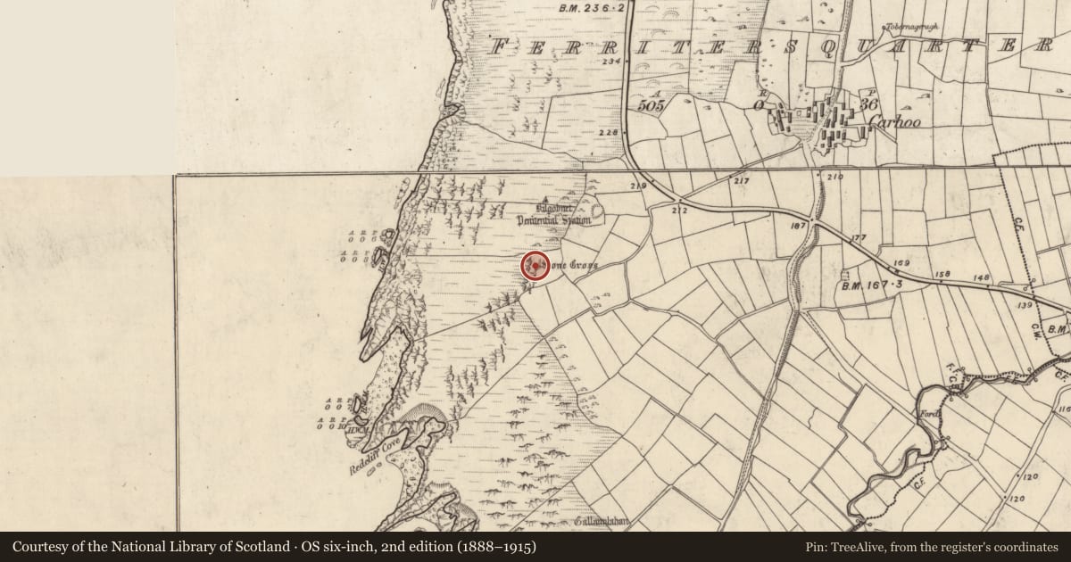
The record
- Townland
- Ceathrú An Fheirtéaraigh
- County
- Kerry
- Country
- Ireland
- First-edition OS map
- Stone Cross
- Latest-edition OS map
- Stone Cross
- Coordinates
- 52.13613, -10.46596
- SMR number
- KE052-007----
Slide toward Today to fade the historical sheet and see the modern map underneath.
David Rumsey Map Collection, Stanford LibrariesUniversity Library, Vrije Universiteit Amsterdam
2 historical maps cover this location, the earliest the 1841 map "Ireland." (David Rumsey Map Collection, Stanford Libraries).
Historical maps covering this location
- 1841 · Ireland. (David Rumsey Map Collection, Stanford Libraries)
- Feuille 22 (A IV) (University Library, Vrije Universiteit Amsterdam)
This record in the National Monuments Service's Historic Environment Viewer ↗
The National Monuments Service's description
Stone cross described by Cuppage (1986, 284-6, no. 838) as follows; 'Kilgobnet/Cill Ghobnait: This site lies within 300m of the sea-cliffs less than a mile N of Dunquin Harbour. It is comprised of a sub-circular enclosure, located at the E side of a larger enclosure which may simply be a later field. The only features visible within the former are 2 large penitential cairns, but several possible house foundations are discernible at the W side of the large enclosure. About 100m to SW, on the side of an immense outcrop of rock, there is a stone cross, and Tobar Ghobnait (935) lies c. 120m to W of this again. Rounds are still performed at each of the monuments on February 11th (St. Gobnait's feast day). The stone cross measures c. 0.9m in height and 0.42m in width. It is supported by a low cairn of stones which, in turn, is set on a small platform formed partly by drystone masonry and partly by rock outcrop'.
Compiled by: Caimin O'Brien
Date of upload: 7 April 2022
References
Cuppage, J. 1986 Corca Dhuibhne. Dingle Peninsula archaeological survey. Ballyferriter. Oidhreacht Chorca Dhuibhne.
Nearby in the register
- Hut siteunder 1 mi
- House - indeterminate dateunder 1 mi
- House - indeterminate dateunder 1 mi
- House - indeterminate dateunder 1 mi
Other entries of the same register within about three miles of this one, by straight line.