Sites and Monuments Record · Ireland
Cross-slab (present location)
Baile An Fheirtéaraigh, County Kerry, Ireland
The record
- Townland
- Baile An Fheirtéaraigh
- County
- Kerry
- Country
- Ireland
- Coordinates
- 52.16654, -10.40608
- SMR number
- KE042-171----
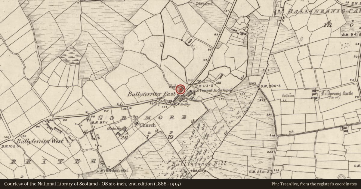
Slide toward Today to fade the historical sheet and see the modern map underneath.
David Rumsey Map Collection, Stanford LibrariesDavid Rumsey Map Collection, Stanford Libraries
2 historical maps cover this location, the earliest the 1753 map "Mappa geographica Regni Hiberniae" (David Rumsey Map Collection, Stanford Libraries).
Historical maps covering this location
- 1753 · Mappa geographica Regni Hiberniae (David Rumsey Map Collection, Stanford Libraries)
- 1841 · Ireland. (David Rumsey Map Collection, Stanford Libraries)
This record in the National Monuments Service's Historic Environment Viewer ↗
The National Monuments Service's description
This cross-slab (Stone H; see KE042-060022-) was found reused as part of a ceallúnach grave within the oratory at Riasc. It is a thin sandstone slab (L 0.85m. W 0.4m. T 0.05m) squared at the top and tapered along its length. The smooth-dressed face bears a recessed design consisting of a Maltese cross within a square frame. In the upper right-hand angle is a small stylised representation of a bird (probably a peacock), originally one of an opposed pair. .
The above description is derived from J. Cuppage, Corca Dhuibhne. Dingle Peninsula archaeological survey. Ballyferriter. Oidhreacht Chorca Dhuibhne’ (1986), no. 874.
Updated by: Paul Walsh
Date of upload: 10 November 2014
Nearby in the register
- Cross-slab (present location)under 1 mi
- Rock art (present location)under 1 mi
- Ogham stone (present location)under 1 mi
- Font (present location)under 1 mi
Other entries of the same register within about three miles of this one, by straight line.