Sites and Monuments Record · Ireland
Hut site
Ballydunlea, County Kerry, Ireland
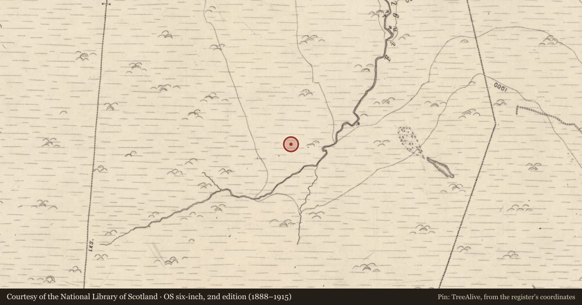
The record
- Townland
- Ballydunlea
- County
- Kerry
- Country
- Ireland
- First-edition OS map
- Not indicated
- Latest-edition OS map
- Not indicated
- Coordinates
- 52.21945, -9.72316
- SMR number
- KE038-073002-
Slide toward Today to fade the historical sheet and see the modern map underneath.
David Rumsey Map Collection, Stanford LibrariesDavid Rumsey Map Collection, Stanford LibrariesDavid Rumsey Map Collection, Stanford LibrariesDavid Rumsey Map Collection, Stanford Libraries
4 historical maps cover this location, the earliest the 1753 map "Mappa geographica Regni Hiberniae" (David Rumsey Map Collection, Stanford Libraries).
Historical maps covering this location
- 1753 · Mappa geographica Regni Hiberniae (David Rumsey Map Collection, Stanford Libraries)
- 1790 · Composite: Ireland. (David Rumsey Map Collection, Stanford Libraries)
- 1869 · Ireland. (David Rumsey Map Collection, Stanford Libraries)
- 1891 · Ireland 16 (David Rumsey Map Collection, Stanford Libraries)
This record in the National Monuments Service's Historic Environment Viewer ↗
The National Monuments Service's description
This possible hut site is one of a number of structures forming a hut/enclosure complex that was recorded in this general area during field inspection. Three records were created for two possible hut sites (KE038-073001-, KE038-073002-) and one enclosure (KE038-073003-). Two other enclosures (referred to in the inspection report as numbers 2 & 3) were recorded in the field, however, the descriptions of these enclosures seem to indicate that they may have been sheepfolds.
Nearby in the register
Other entries of the same register within about three miles of this one, by straight line.