Sites and Monuments Record · Ireland
Hut site
Killelton (Corkaguiny By.), County Kerry, Ireland
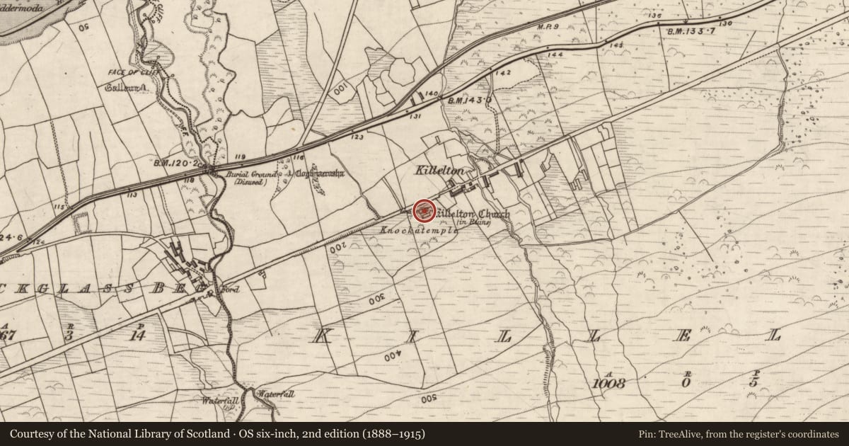
The record
- Townland
- Killelton (Corkaguiny By.)
- County
- Kerry
- Country
- Ireland
- First-edition OS map
- Not indicated
- Latest-edition OS map
- Not indicated
- Coordinates
- 52.22816, -9.87386
- SMR number
- KE037-025008-
Slide toward Today to fade the historical sheet and see the modern map underneath.
David Rumsey Map Collection, Stanford LibrariesDavid Rumsey Map Collection, Stanford LibrariesDavid Rumsey Map Collection, Stanford LibrariesDavid Rumsey Map Collection, Stanford Libraries
4 historical maps cover this location, the earliest the 1753 map "Mappa geographica Regni Hiberniae" (David Rumsey Map Collection, Stanford Libraries).
Historical maps covering this location
- 1753 · Mappa geographica Regni Hiberniae (David Rumsey Map Collection, Stanford Libraries)
- 1790 · Composite: Ireland. (David Rumsey Map Collection, Stanford Libraries)
- 1869 · Ireland. (David Rumsey Map Collection, Stanford Libraries)
- 1891 · Ireland 16 (David Rumsey Map Collection, Stanford Libraries)
This record in the National Monuments Service's Historic Environment Viewer ↗
The National Monuments Service's description
National Monument No. 593. Killelton Church and graveyard/Cill Eilthín: Situated on the lower N slopes of Gearhane mountain, overlooking Tralee Bay, this site consists of a rectangular enclosure, within which are the remains of a small oratory and 2 rectangular buildings.
The Co. Kerry Field Club recorded 2 other rectangular foundations within the enclosure but these are not now apparent.
The above description is derived from J. Cuppage, ‘Corca Dhuibhne. Dingle Peninsula archaeological survey. Ballyferriter. Oidhreacht Chorca Dhuibhne’ (1986), no. 852. In certain instances the entries have been revised and updated in the light of recent research.
Date of upload: 8 August 2013
This monument is subject to a preservation order made under the National Monuments Acts 1930 to 2014 (PO no. 1/1983).
Nearby in the register
- Enclosureunder 1 mi
- Children's burial groundunder 1 mi
- Hut siteunder 1 mi
- Buildingunder 1 mi
Other entries of the same register within about three miles of this one, by straight line.