Sites and Monuments Record · Ireland
Burnt mound
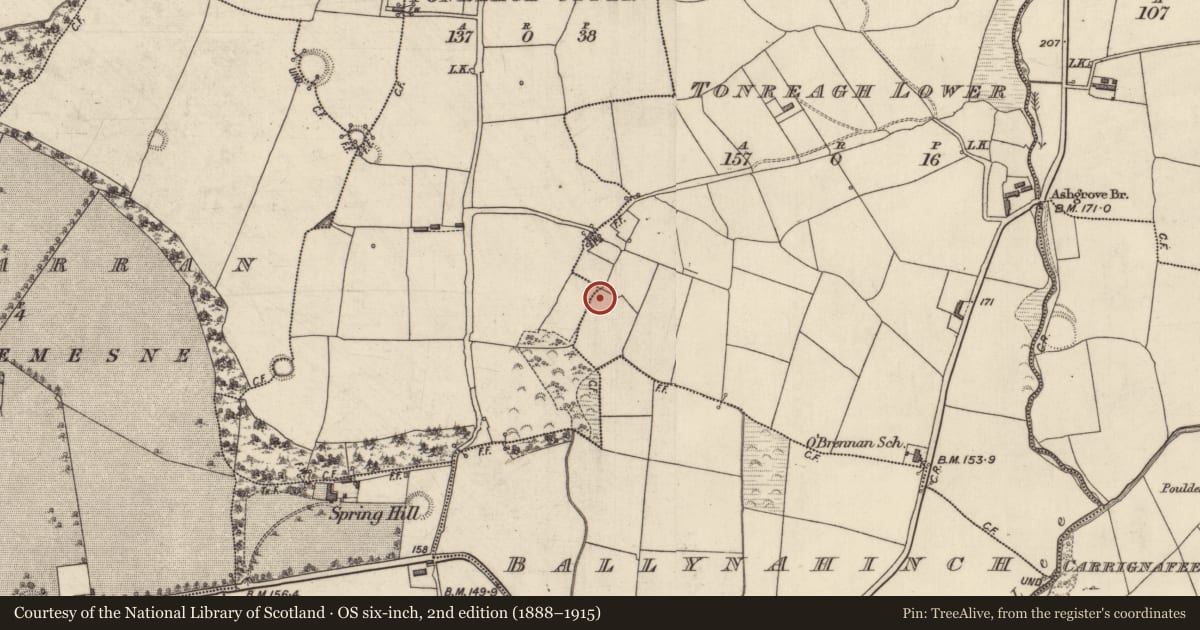
Tonreagh Lower, County Kerry, Ireland
The record
- Townland
- Tonreagh Lower
- County
- Kerry
- Country
- Ireland
- Coordinates
- 52.27757, -9.62134
- SMR number
- KE029-260----
Slide toward Today to fade the historical sheet and see the modern map underneath.
David Rumsey Map Collection, Stanford LibrariesDavid Rumsey Map Collection, Stanford LibrariesDavid Rumsey Map Collection, Stanford LibrariesDavid Rumsey Map Collection, Stanford Libraries
4 historical maps cover this location, the earliest the 1753 map "Mappa geographica Regni Hiberniae" (David Rumsey Map Collection, Stanford Libraries).
Historical maps covering this location
- 1753 · Mappa geographica Regni Hiberniae (David Rumsey Map Collection, Stanford Libraries)
- 1790 · Composite: Ireland. (David Rumsey Map Collection, Stanford Libraries)
- 1869 · Ireland. (David Rumsey Map Collection, Stanford Libraries)
- 1891 · Ireland 16 (David Rumsey Map Collection, Stanford Libraries)
This record in the National Monuments Service's Historic Environment Viewer ↗
The National Monuments Service's description
'The small field in which these mounds are located is extremely wet and marshy. The nearby recorded fulacht fiadh (KE029-136----) is a classic horseshoe shaped mound......total dimensions of this mound [KE029-260----] are 14.0m N-S by 7.00m E-W (not the total diameter E-W as the western side has been truncated ) and is 1.00m in height. It is now covered with a growth of grass and reeds, and is stone-filled. No trough area is apparent.'
Compiled by Michael Connolly for the Archaeological Survey of Ireland as part of a survey of the Lee Valley area in 1996-97.
Date of upload: 02 May 2012
Nearby in the register
- Fulacht fiaunder 1 mi
- Burnt moundunder 1 mi
- Ringfort - rathunder 1 mi
- Souterrainunder 1 mi
Other entries of the same register within about three miles of this one, by straight line.