Sites and Monuments Record · Ireland
Enclosure
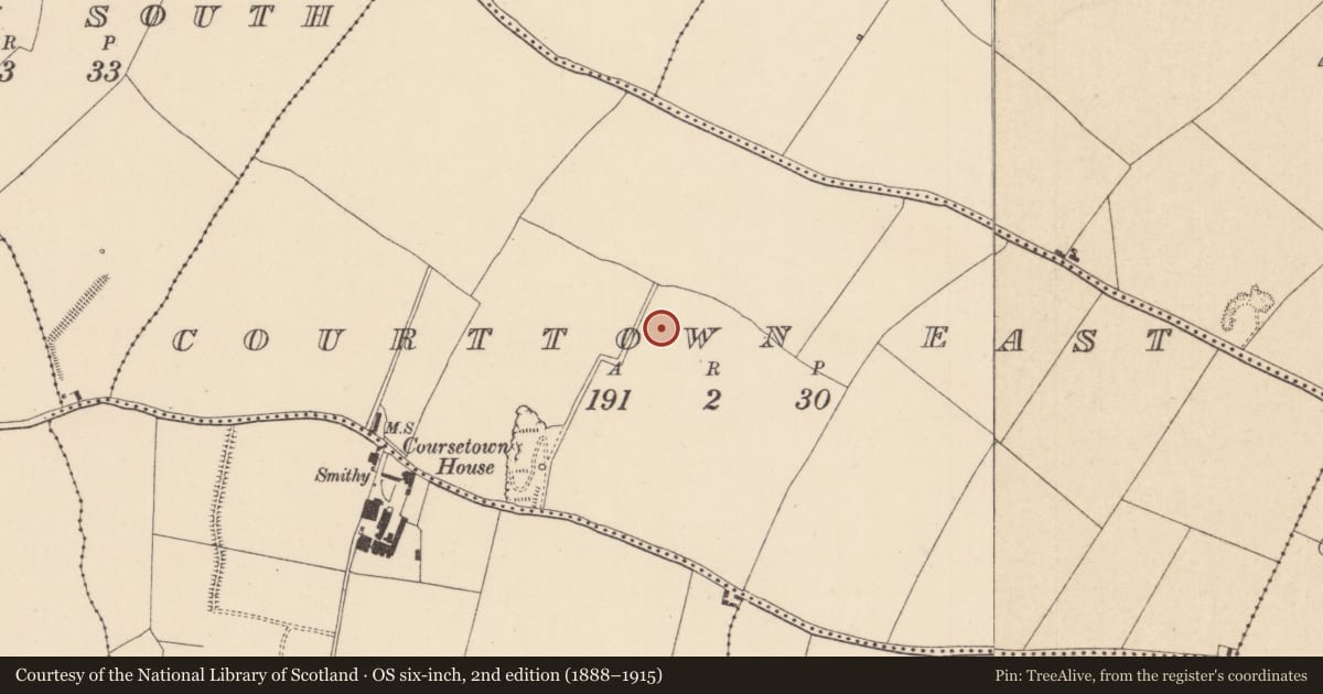
Courttown East, County Kildare, Ireland
The record
- Townland
- Courttown East
- County
- Kildare
- Country
- Ireland
- First-edition OS map
- Not indicated
- Latest-edition OS map
- Not indicated
- Coordinates
- 53.00426, -7.02580
- SMR number
- KD034-007----
Slide toward Today to fade the historical sheet and see the modern map underneath.
David Rumsey Map Collection, Stanford LibrariesDavid Rumsey Map Collection, Stanford LibrariesDavid Rumsey Map Collection, Stanford LibrariesDavid Rumsey Map Collection, Stanford Libraries
4 historical maps cover this location, the earliest the 1790 map "Composite: Ireland." (David Rumsey Map Collection, Stanford Libraries).
Historical maps covering this location
- 1790 · Composite: Ireland. (David Rumsey Map Collection, Stanford Libraries)
- 1799 · Ireland. (David Rumsey Map Collection, Stanford Libraries)
- 1869 · Ireland. (David Rumsey Map Collection, Stanford Libraries)
- 1891 · Ireland 16 (David Rumsey Map Collection, Stanford Libraries)
This record in the National Monuments Service's Historic Environment Viewer ↗
The National Monuments Service's description
One of a dense concentration of cropmarks of levelled monuments identified from several aerial photographic sources: Cambridge University Collection Aerial Photographs (CUCAP), Geological Survey of Ireland (GSI), Dr. Gillian Barrett’s Aerial Survey and OSi Orthophotos (KD034-007----, KD034-008----, KD034-009----, KD034-010----, KD034-011----, KD034-0120001-, KD034-012002-, KD034-027----, KD034-034----, KD034-035----, KD034-036----, KD034-039----, KD034-040----, KD034-041----, KD035-015---- and KD035-080----). The majority occupy a roughly rectangular area (c. 650m E-W; c. 350m) in level tillage, with two ‘outliers’ (KD035-0120001- and KD035-012002-) c. 250m to the S, and a third ‘outlier’ (KD034-027----) c. 220m to the NW.
KD034-007---- Visible on a 1973 aerial photograph (CUCAP BOC 69) as the cropmark of fosse enclosing a roughly circular area (est. max. diam. c. 20m); possibly a ringditch or ringbarrow. No visible surface trace survives.
Compiled by: Gearóid Conroy
Date of upload: 26 November
Nearby in the register
- Enclosureunder 1 mi
- Ring-ditchunder 1 mi
- Enclosureunder 1 mi
- Ring-ditchunder 1 mi
Other entries of the same register within about three miles of this one, by straight line.