Sites and Monuments Record · Ireland
Burial
Halverstown (Kilcullen ED), County Kildare, Ireland
The record
- Townland
- Halverstown (Kilcullen ED)
- County
- Kildare
- Country
- Ireland
- First-edition OS map
- Not indicated
- Latest-edition OS map
- Not indicated
- Coordinates
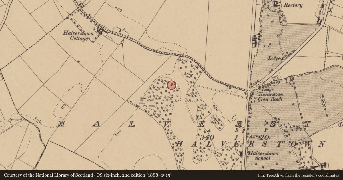
- 53.09570, -6.76957
- SMR number
- KD028-054----
Slide toward Today to fade the historical sheet and see the modern map underneath.
David Rumsey Map Collection, Stanford LibrariesDavid Rumsey Map Collection, Stanford LibrariesDavid Rumsey Map Collection, Stanford LibrariesDavid Rumsey Map Collection, Stanford Libraries
4 historical maps cover this location, the earliest the 1790 map "Composite: Ireland." (David Rumsey Map Collection, Stanford Libraries).
Historical maps covering this location
- 1790 · Composite: Ireland. (David Rumsey Map Collection, Stanford Libraries)
- 1799 · Ireland. (David Rumsey Map Collection, Stanford Libraries)
- 1830 · V.3:11-15:XV. Britisches Reich. C. Kon: Ireland. a. Prov: Leinster. Counties: 1-12 (David Rumsey Map Collection, Stanford Libraries)
- 1891 · Ireland 16 (David Rumsey Map Collection, Stanford Libraries)
This record in the National Monuments Service's Historic Environment Viewer ↗
The National Monuments Service's description
Three crouched inhumation burials were found in a gravel ridge: (1) a pit containing the contracted inhumation of a middle-aged adult female; (2) the crouched inhumation of a young adult male, facing E, accompanied by a bowl food vessel placed upright behind the skull, and (3) the crouched inhumation of an adult male, facing E, accompanied by an ox femur (Raftery 1940, 57-61). This area has been completely quarried.
Compiled by: Gearóid Conroy
Date of upload: 14 May 2013
References
Raftery, J. 1940 Bronze Age burials at Halverstown, Co. Kildare, Journal of the Royal Society of Antiquaries of Ireland, vol. 70, 57-61
Nearby in the register
- Enclosureunder 1 mi
- Cistunder 1 mi
- Barrow - bowl-barrowunder 1 mi
- Burialunder 1 mi
Other entries of the same register within about three miles of this one, by straight line.