Sites and Monuments Record · Ireland
Kiln - corn-drying
Corbally (Newbridge Rural ED), County Kildare, Ireland
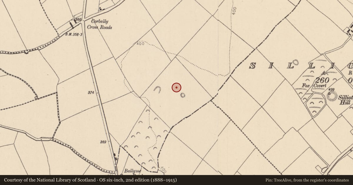
The record
- Townland
- Corbally (Newbridge Rural ED)
- County
- Kildare
- Country
- Ireland
- First-edition OS map
- Not indicated
- Latest-edition OS map
- Not indicated
- Coordinates
- 53.15378, -6.73118
- SMR number
- KD023-118----
Slide toward Today to fade the historical sheet and see the modern map underneath.
David Rumsey Map Collection, Stanford LibrariesDavid Rumsey Map Collection, Stanford LibrariesDavid Rumsey Map Collection, Stanford LibrariesDavid Rumsey Map Collection, Stanford Libraries
4 historical maps cover this location, the earliest the 1790 map "Composite: Ireland." (David Rumsey Map Collection, Stanford Libraries).
Historical maps covering this location
- 1790 · Composite: Ireland. (David Rumsey Map Collection, Stanford Libraries)
- 1799 · Ireland. (David Rumsey Map Collection, Stanford Libraries)
- 1830 · V.3:11-15:XV. Britisches Reich. C. Kon: Ireland. a. Prov: Leinster. Counties: 1-12 (David Rumsey Map Collection, Stanford Libraries)
- 1891 · Ireland 16 (David Rumsey Map Collection, Stanford Libraries)
This record in the National Monuments Service's Historic Environment Viewer ↗
The National Monuments Service's description
In 2001, extensive archaeological monitoring of soil-stripping in advance of the development of a large scale sand and gravel quarry resulted in the identification and excavation of some 16 kilns (Tobin 2001: Excavation Licence Nos. 01E0078; 01E0153; 01E0229 and 01E1007). Most had a keyhole/figure-of-eight plan, with a N-S alignment, and measured from c. 1.8m to over 3m in length. Some exhibited evidence of multiple uses, and two appeared to have been prepared but never used. An unusual feature in seven of the kilns was evidence of an enclosing ditch/trench, the precise function of which was not determined. One kiln contained a burial (KD023-118001-). Small circular pits found in conjunction with some of the larger kilns may cast light on the improving technology associated with the heating/firing of the kilns. The small keyhole kilns appeared to have suffered considerable failure through ignition of the cereals as a result of their proximity to a direct heat source. The larger, enclosed kilns showed evidence of repeated firings and possibly extended periods of use. The circular pits may have served to increase efficiency. They produced quantities of charcoal, and they may have served to manufacture charcoal adjacent to the main kiln. The use of charcoal would introduce a more efficient heat source and a lower risk of ignition from sparks.
Compiled by: Gearóid Conroy
Date of upload: 21 December 2012
References
Tobin R. 2001 Archaeological Interim Report, Field 4, Corbally, Co. Kildare. M. Gowan & Co. Ltd. Unpublished report, National Monuments Service, Department of Arts, Heritage and the Gaeltacht, Dublin.
Nearby in the register
- Burialunder 1 mi
- Burialunder 1 mi
- House - Neolithicunder 1 mi
- House - Neolithicunder 1 mi
Other entries of the same register within about three miles of this one, by straight line.