Sites and Monuments Record · Ireland
Cross-slab
Kildare, County Kildare, Ireland
The record
- Townland
- Kildare
- County
- Kildare
- Country
- Ireland
- First-edition OS map
- Not indicated
- Latest-edition OS map
- Not indicated
- Coordinates
- 53.15774, -6.91145
- SMR number
- KD022-029027-
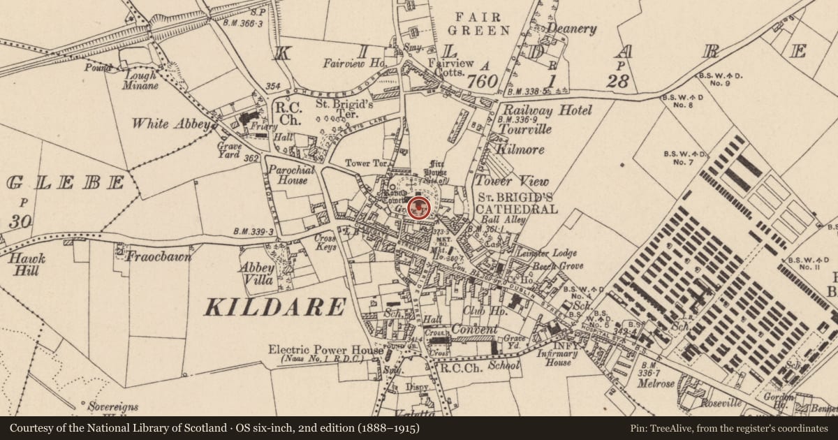
Slide toward Today to fade the historical sheet and see the modern map underneath.
David Rumsey Map Collection, Stanford LibrariesDavid Rumsey Map Collection, Stanford LibrariesDavid Rumsey Map Collection, Stanford LibrariesDavid Rumsey Map Collection, Stanford Libraries
4 historical maps cover this location, the earliest the 1790 map "Composite: Ireland." (David Rumsey Map Collection, Stanford Libraries).
Historical maps covering this location
- 1790 · Composite: Ireland. (David Rumsey Map Collection, Stanford Libraries)
- 1799 · Ireland. (David Rumsey Map Collection, Stanford Libraries)
- 1830 · V.3:11-15:XV. Britisches Reich. C. Kon: Ireland. a. Prov: Leinster. Counties: 1-12 (David Rumsey Map Collection, Stanford Libraries)
- 1891 · Ireland 16 (David Rumsey Map Collection, Stanford Libraries)
This record in the National Monuments Service's Historic Environment Viewer ↗
The National Monuments Service's description
A large collection of cross slabs, grave slabs, decorated stones and three effigies (See KD022-029023- and KD022-029027- to KD022-029057-), dating from the 10th to the 17th centuries have been placed in St. Brigid’s Cathedral (KD022-029005-).
KD022-029027-: In the S-transept. According to Bradley et al. (1986 vol. 3, 225-6. Fig. 98), the lower half of a granite cross slab (L 0.91m; Wth 0.34m; T 0.2m) is chamfered on one side and is decorated with the stem of a cross, outlined by two grooves, whose foot terminates in a bulbar extension.
Compiled by: Gearóid Conroy
Date of upload: 30 January 2012
Nearby in the register
- Cross-slabunder 1 mi
- Cross-slabunder 1 mi
- Cross-slabunder 1 mi
- Tomb - effigial (present location)under 1 mi
Other entries of the same register within about three miles of this one, by straight line.