Sites and Monuments Record · Ireland
Burial
Clane, County Kildare, Ireland
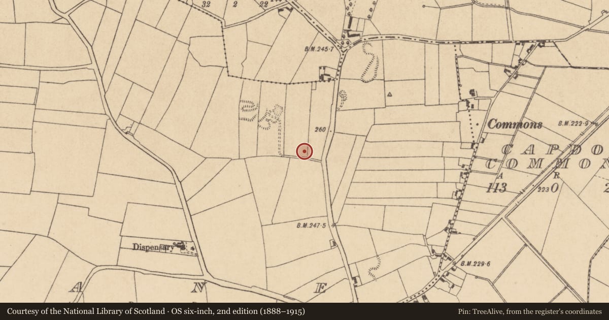
The record
- Townland
- Clane
- County
- Kildare
- Country
- Ireland
- First-edition OS map
- Not indicated
- Latest-edition OS map
- Not indicated
- Coordinates
- 53.29740, -6.68915
- SMR number
- KD014-019----
Slide toward Today to fade the historical sheet and see the modern map underneath.
David Rumsey Map Collection, Stanford LibrariesDavid Rumsey Map Collection, Stanford LibrariesDavid Rumsey Map Collection, Stanford LibrariesDavid Rumsey Map Collection, Stanford Libraries
4 historical maps cover this location, the earliest the 1790 map "Composite: Ireland." (David Rumsey Map Collection, Stanford Libraries).
Historical maps covering this location
- 1790 · Composite: Ireland. (David Rumsey Map Collection, Stanford Libraries)
- 1799 · Ireland. (David Rumsey Map Collection, Stanford Libraries)
- 1830 · V.3:11-15:XV. Britisches Reich. C. Kon: Ireland. a. Prov: Leinster. Counties: 1-12 (David Rumsey Map Collection, Stanford Libraries)
- 1891 · Ireland 16 (David Rumsey Map Collection, Stanford Libraries)
This record in the National Monuments Service's Historic Environment Viewer ↗
The National Monuments Service's description
On top of a small escarpment overlooking a glacial overflow channel. A small Neolithic cemetery was discovered during bulldozing in 1971. It comprised; an oval pit containing the crouched inhumation of an eleven year old child and the inhumation of a fifteen year old youth accompanied by a lignite bracelet fragment and sherds of a round-bottomed decorated bowl; a pit containing the crouched inhumation of an adult male and the inhumation of an adult, disturbed before examination. A third burial was destroyed a year previously (Ryan 1979-80, 108-11).
Compiled by: Gearóid Conroy
Date of upload: 10 June 2011
References
NULL
Nearby in the register
- Enclosureunder 1 mi
- Wellunder 1 mi
- Churchunder 1 mi
- Tomb - table tombunder 1 mi
Other entries of the same register within about three miles of this one, by straight line.