Sites and Monuments Record · Ireland
Road - class 1 togher
Lullymore West,Derrybrennan, County Kildare, Ireland
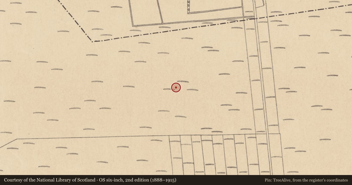
The record
- Townland
- Lullymore West,Derrybrennan
- County
- Kildare
- Country
- Ireland
- Latest-edition OS map
- Not indicated
- Coordinates
- 53.29099, -6.94881
- SMR number
- KD012-004001-
Slide toward Today to fade the historical sheet and see the modern map underneath.
David Rumsey Map Collection, Stanford LibrariesDavid Rumsey Map Collection, Stanford LibrariesDavid Rumsey Map Collection, Stanford LibrariesDavid Rumsey Map Collection, Stanford Libraries
4 historical maps cover this location, the earliest the 1790 map "Composite: Ireland." (David Rumsey Map Collection, Stanford Libraries).
Historical maps covering this location
- 1790 · Composite: Ireland. (David Rumsey Map Collection, Stanford Libraries)
- 1799 · Ireland. (David Rumsey Map Collection, Stanford Libraries)
- 1830 · V.3:11-15:XV. Britisches Reich. C. Kon: Ireland. a. Prov: Leinster. Counties: 1-12 (David Rumsey Map Collection, Stanford Libraries)
- 1891 · Ireland 16 (David Rumsey Map Collection, Stanford Libraries)
This record in the National Monuments Service's Historic Environment Viewer ↗
The National Monuments Service's description
One of three toghers (see also KD012-002001- and KD012-003001-) converging on Derrybrennan townalnd, a small 'island' of high ground in the expanse of bog to the N of Lullymore, which were investigated by Rynne on behalf of the NMI after their discovery was reported by Bord na Móna. It ran (est. L c. 1500m) between higher ground at Derrybrennan townalnd to the N and Lullymore West townalnd to the S, another 'island' in the bog, where it appears to be aligned with a laneway leading towards an early monastic site (KD012-006----). Rynne investigated both ends of the road but gave no details in the published account (1964-5, 38-9). According to local reports, where the togher had been cut by turf-cutting machines, transversely laid planks (est. L c. 2.4m) had occasionally been found, particularly in areas of soft peat. The site has been radiocarbon dated to AD 775-892 (1200±20BP; GrN-14728). (Brindley & Lanting 1998, 47)
Compiled by: Gearóid Conroy
Date of upload: 10 June 2011
Nearby in the register
- Road - gravel/stone trackway - peatlandunder 1 mi
- Road - gravel/stone trackway - peatlandunder 1 mi
- Cross-inscribed stone (present location)under 1 mi
- Road - class 1 togherunder 1 mi
Other entries of the same register within about three miles of this one, by straight line.