Sites and Monuments Record · Ireland
Stone head
Leixlip, County Kildare, Ireland
The record
- Townland
- Leixlip
- County
- Kildare
- Country
- Ireland
- First-edition OS map
- Not indicated
- Latest-edition OS map
- Not indicated
- Coordinates
- 53.36323, -6.49068
- SMR number
- KD011-004013-
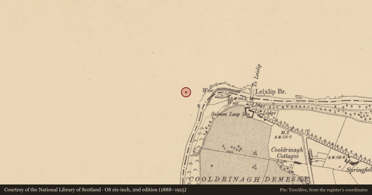
Slide toward Today to fade the historical sheet and see the modern map underneath.
David Rumsey Map Collection, Stanford LibrariesDavid Rumsey Map Collection, Stanford LibrariesDavid Rumsey Map Collection, Stanford LibrariesDavid Rumsey Map Collection, Stanford Libraries
4 historical maps cover this location, the earliest the 1799 map "Ireland." (David Rumsey Map Collection, Stanford Libraries).
Historical maps covering this location
- 1799 · Ireland. (David Rumsey Map Collection, Stanford Libraries)
- 1811 · Ireland. (David Rumsey Map Collection, Stanford Libraries)
- 1830 · V.3:11-15:XV. Britisches Reich. C. Kon: Ireland. a. Prov: Leinster. Counties: 1-12 (David Rumsey Map Collection, Stanford Libraries)
- 1891 · Ireland 16 (David Rumsey Map Collection, Stanford Libraries)
This record in the National Monuments Service's Historic Environment Viewer ↗
The National Monuments Service's description
Leixlip church (KD011-004003-) contains three carved stone heads: KD011-004012- is located in the S wall of the chancel and is a small, worn head with a fleur-de-lys crown, in the 13th century style (Bradley et al. 1986 vol. 3, 314).
KD011-004013- is located high on the W-end of the stair-turret's N wall and is carved showing bulging eyes and a moustache (Bradley et al. 1986 vol. 3, 316).
KD011-004014- is located at the E-end of the tower's N wall and is carved showing a fringe of hair across the forehead, bulging almond-shaped eyes, an elongated nose and an upturned slit for the mouth (Bradley et al. 1986 vol. 3, 316).
Compiled by: Gearóid Conroy
Date of upload: 10 June 2011
Nearby in the register
- Graveslabunder 1 mi
- Stone headunder 1 mi
- Fontunder 1 mi
- Churchunder 1 mi
Other entries of the same register within about three miles of this one, by straight line.