Sites and Monuments Record · Ireland
Barrow - ditch barrow
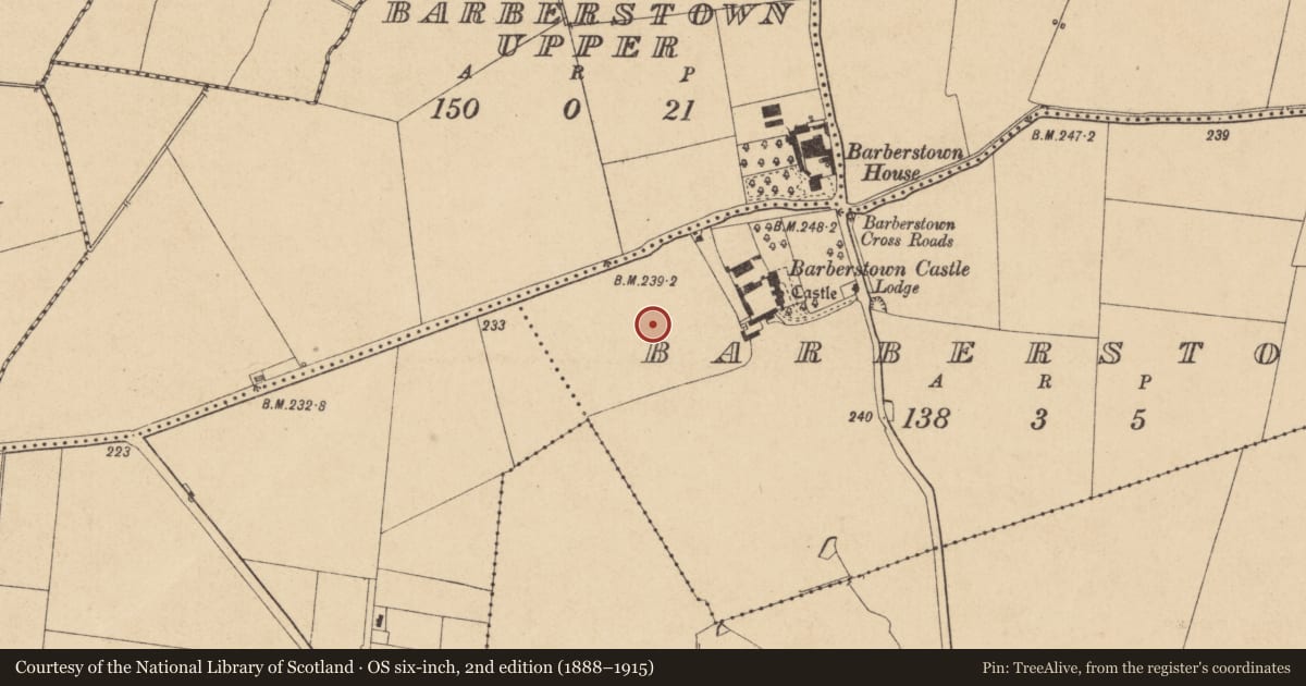
Barberstown, County Kildare, Ireland
The record
- Townland
- Barberstown
- County
- Kildare
- Country
- Ireland
- First-edition OS map
- Not indicated
- Latest-edition OS map
- Not indicated
- Coordinates
- 53.32207, -6.61143
- SMR number
- KD010-059----
Slide toward Today to fade the historical sheet and see the modern map underneath.
David Rumsey Map Collection, Stanford LibrariesDavid Rumsey Map Collection, Stanford LibrariesDavid Rumsey Map Collection, Stanford LibrariesDavid Rumsey Map Collection, Stanford Libraries
4 historical maps cover this location, the earliest the 1790 map "Composite: Ireland." (David Rumsey Map Collection, Stanford Libraries).
Historical maps covering this location
- 1790 · Composite: Ireland. (David Rumsey Map Collection, Stanford Libraries)
- 1799 · Ireland. (David Rumsey Map Collection, Stanford Libraries)
- 1830 · V.3:11-15:XV. Britisches Reich. C. Kon: Ireland. a. Prov: Leinster. Counties: 1-12 (David Rumsey Map Collection, Stanford Libraries)
- 1891 · Ireland 16 (David Rumsey Map Collection, Stanford Libraries)
This record in the National Monuments Service's Historic Environment Viewer ↗
The National Monuments Service's description
One of a group of nine ditch-barrows (KD010-057----/065-) located in same field. Cropmark of circular-shaped enclosure/barrow (approx. diam. 13m) with barrow (KD010-060----) attached to SSE visible on Google earth aerial imagery.
See attached image taken from Google Earth aerial photographs taken 28/06/2018, area of barrow cemetery shown in red outline, individual monument depicted with white dashed outline.
Compiled by: Caimin O'Brien based on details kindly provided by Faith Bailey.
Date of upload: 12 November 2018
Nearby in the register
- Barrow - ditch barrowunder 1 mi
- Barrow - ditch barrowunder 1 mi
- Barrow - ditch barrowunder 1 mi
- Barrow - ditch barrowunder 1 mi
Other entries of the same register within about three miles of this one, by straight line.