Sites and Monuments Record · Ireland
Armorial plaque
Donadea Demesne, County Kildare, Ireland
The record
- Townland
- Donadea Demesne
- County
- Kildare
- Country
- Ireland
- First-edition OS map
- Not indicated
- Latest-edition OS map
- Not indicated
- Coordinates
- 53.34089, -6.74679
- SMR number
- KD009-015003-
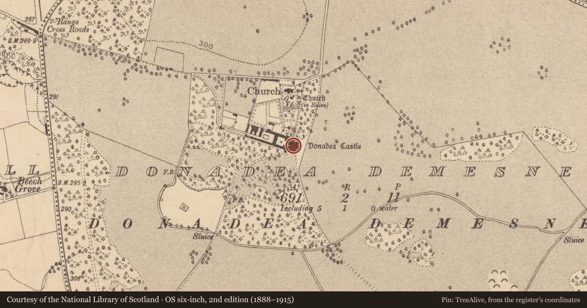
Slide toward Today to fade the historical sheet and see the modern map underneath.
David Rumsey Map Collection, Stanford LibrariesDavid Rumsey Map Collection, Stanford LibrariesDavid Rumsey Map Collection, Stanford LibrariesDavid Rumsey Map Collection, Stanford Libraries
4 historical maps cover this location, the earliest the 1790 map "Composite: Ireland." (David Rumsey Map Collection, Stanford Libraries).
Historical maps covering this location
- 1790 · Composite: Ireland. (David Rumsey Map Collection, Stanford Libraries)
- 1799 · Ireland. (David Rumsey Map Collection, Stanford Libraries)
- 1830 · V.3:11-15:XV. Britisches Reich. C. Kon: Ireland. a. Prov: Leinster. Counties: 1-12 (David Rumsey Map Collection, Stanford Libraries)
- 1891 · Ireland 16 (David Rumsey Map Collection, Stanford Libraries)
This record in the National Monuments Service's Historic Environment Viewer ↗
The National Monuments Service's description
Armorial plaque inserted into E wall of Donadea Castle (KD009-015001-), located just inside bowed entrance front of the castellated housee. A carved stone plaque of 17th century date set into a brick surround of 19th century date which bears the Aylmer and Nugent coats of arms and the inscription, 'Sir Gerald Aylmer, Knight and Barronet and Dame Julia Nugent built this house, 1624', commemorating the building of the fortified house (KD009-015002-) which incorporated an earlier tower house (KD009-015001-). Underneath the armorial plaque there is a 19th century limestone tablet which bears the following inscription; 'Destroyed by fire in the war of 1641 Rebuilt by Sr Fitzgerald Aylmer Baronet 1773 Repaired by Sir Gerald George Aylmer Baronet 1827'.
Compiled by: Gearóid Conroy
Revised by:Caimin O'Brien
Date of revised upload: 27 November 2015
Nearby in the register
- House - fortified houseunder 1 mi
- Castle - tower houseunder 1 mi
- Graveyardunder 1 mi
- Churchunder 1 mi
Other entries of the same register within about three miles of this one, by straight line.