Sites and Monuments Record · Ireland
Church
Carbury, County Kildare, Ireland
The record
- Townland
- Carbury
- County
- Kildare
- Country
- Ireland
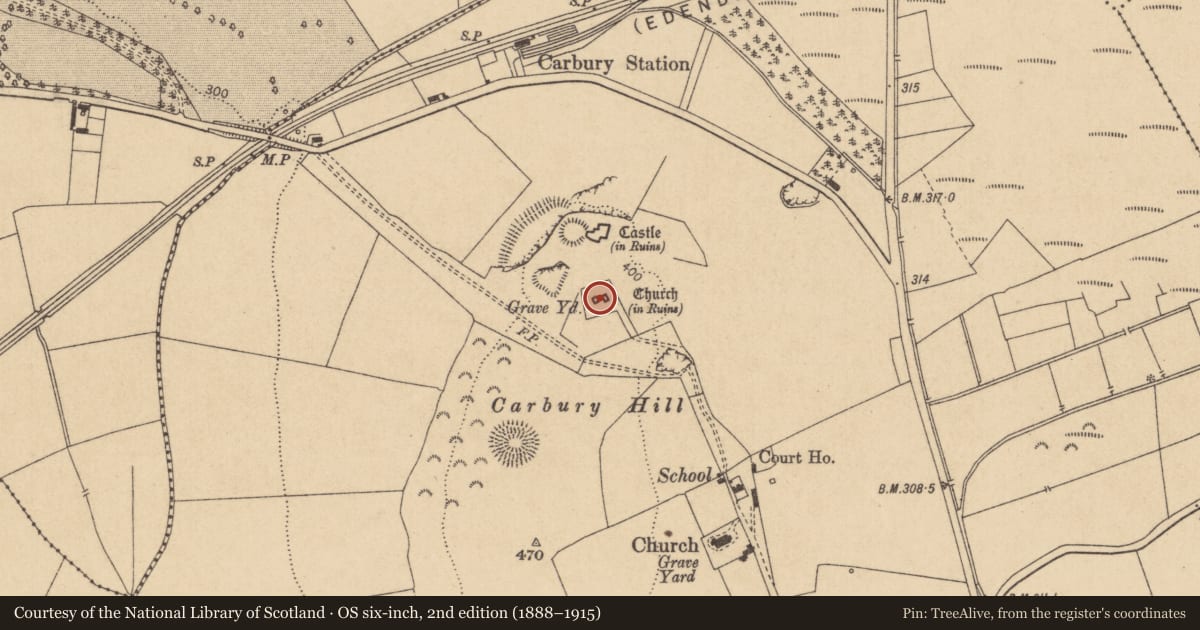
- First-edition OS map
- Church
- Latest-edition OS map
- Church (in Ruins)
- Coordinates
- 53.36076, -6.96895
- SMR number
- KD008-001005-
Slide toward Today to fade the historical sheet and see the modern map underneath.
David Rumsey Map Collection, Stanford LibrariesDavid Rumsey Map Collection, Stanford LibrariesDavid Rumsey Map Collection, Stanford LibrariesDavid Rumsey Map Collection, Stanford Libraries
4 historical maps cover this location, the earliest the 1790 map "Composite: Ireland." (David Rumsey Map Collection, Stanford Libraries).
Historical maps covering this location
- 1790 · Composite: Ireland. (David Rumsey Map Collection, Stanford Libraries)
- 1799 · Ireland. (David Rumsey Map Collection, Stanford Libraries)
- 1830 · V.3:11-15:XV. Britisches Reich. C. Kon: Ireland. a. Prov: Leinster. Counties: 1-12 (David Rumsey Map Collection, Stanford Libraries)
- 1891 · Ireland 16 (David Rumsey Map Collection, Stanford Libraries)
This record in the National Monuments Service's Historic Environment Viewer ↗
The National Monuments Service's description
At the centre of a graveyard (KD008-001006-) overlooked by Carbury Castle (KD008-001002-) c. 80m to the N. Only the W-gable wall (dims. L 8m; wall T 0.9m) of a possibly late-medieval parish church survives. It is built of well-dressed, coursed limestone blocks, under a heavy, concrete-like render. A central doorway (ext. Wth 1.4m) with gently splaying ingoings has it's top removed and runs up into a round-arched window above. A plaque (KD008-001010-), dated 1705, commemorating members of the Colley family is mounted on the inner wall face to S of the doorway. The gable carries a small round-arched bellcote, built of ashlar and probably a later addition. A large rectangular grave plot (dims. L c. 8m N-S; Wth c. 5.8m), enclosed by iron railings, occupies the area immediately inside the W-gable wall. The E end of the church is occupied by a large 18th century mausoleum (KD008-001007-) containing two plaques (KD008-001008- and KD008-001009-) commemorating Colley family members.
Compiled by: Gearóid Conroy
Date of upload: 10 June 2011
Nearby in the register
- Wall monumentunder 1 mi
- Wall monumentunder 1 mi
- Wall monumentunder 1 mi
- Graveyardunder 1 mi
Other entries of the same register within about three miles of this one, by straight line.