Sites and Monuments Record · Ireland
Cross - Churchyard cross
Portumna Demesne, County Galway, Ireland
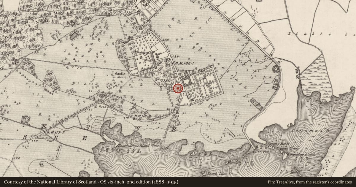
The record
- Townland
- Portumna Demesne
- County
- Galway
- Country
- Ireland
- First-edition OS map
- Not indicated
- Latest-edition OS map
- Not indicated
- Coordinates
- 53.08588, -8.21755
- SMR number
- GA127-019011-
Slide toward Today to fade the historical sheet and see the modern map underneath.
David Rumsey Map Collection, Stanford LibrariesDavid Rumsey Map Collection, Stanford LibrariesDavid Rumsey Map Collection, Stanford LibrariesDavid Rumsey Map Collection, Stanford Libraries
4 historical maps cover this location, the earliest the 1790 map "Composite: Ireland." (David Rumsey Map Collection, Stanford Libraries).
Historical maps covering this location
- 1790 · Composite: Ireland. (David Rumsey Map Collection, Stanford Libraries)
- 1811 · Ireland. (David Rumsey Map Collection, Stanford Libraries)
- 1869 · Ireland. (David Rumsey Map Collection, Stanford Libraries)
- 1891 · Ireland 16 (David Rumsey Map Collection, Stanford Libraries)
This record in the National Monuments Service's Historic Environment Viewer ↗
The National Monuments Service's description
This cross (H 0.88m; arm span 0.7m) is standing in the graveyard (GA127-019013-) surrounding the 'Abbey' (GA127-019----) and is c. 8m to the S its S wall. It is cut from a single piece of stone and the top and arms end in expanded fleur-de-lis motifs. A lozenge shape pierces its centre. The shaft is octagonal in plan. The cross sits in an octagonal base which is squared off internally (int. dims. 0.45m N-S; 0.45m E-W). This cross was brought to our attention by Dr Christy Cunniffe.
The following image has been uploaded: GA127-019011-_01.jpg
Compiled by: Olive Alcock
Date of upload: 1 May 2019
Nearby in the register
Other entries of the same register within about three miles of this one, by straight line.