Sites and Monuments Record · Ireland
Graveslab
Kinvarra (Kiltartan By.), County Galway, Ireland
The record
- Townland
- Kinvarra (Kiltartan By.)
- County
- Galway
- Country
- Ireland
- First-edition OS map
- Not indicated
- Latest-edition OS map
- Not indicated
- Coordinates
- 53.13917, -8.93681
- SMR number
- GA113-139002-
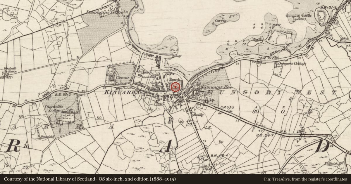
Slide toward Today to fade the historical sheet and see the modern map underneath.
David Rumsey Map Collection, Stanford LibrariesDavid Rumsey Map Collection, Stanford LibrariesDavid Rumsey Map Collection, Stanford LibrariesDavid Rumsey Map Collection, Stanford Libraries
4 historical maps cover this location, the earliest the 1753 map "Mappa geographica Regni Hiberniae" (David Rumsey Map Collection, Stanford Libraries).
Historical maps covering this location
- 1753 · Mappa geographica Regni Hiberniae (David Rumsey Map Collection, Stanford Libraries)
- 1790 · Composite: Ireland. (David Rumsey Map Collection, Stanford Libraries)
- 1869 · Ireland. (David Rumsey Map Collection, Stanford Libraries)
- 1891 · Ireland 16 (David Rumsey Map Collection, Stanford Libraries)
This record in the National Monuments Service's Historic Environment Viewer ↗
The National Monuments Service's description
Within the interior of St Coman's medieval church (GA113-139---). This is one of three graveslabs (see also GA113-139003- and GA113-139004-) recorded by Carey (2008, 26) ‘that may date to the sixteenth century. The three rectangular slabs are each incised with ring-headed, long stemmed crosses with stepped bases. One of these slabs (GA113-139003-) has been reused and bears the date 1818'. This graveslab is numbered 38 on the plan (ibid., 23, Fig. 2).
Compiled by: Olive Alcock
Date of upload: 9 April 2020
References
Carey, A. 2008 St. Coman's Church, Kinvara. Journal of the Galway Archaeological and Historical Society 60, 22-31.
Nearby in the register
- Graveslabunder 1 mi
- Graveslabunder 1 mi
- Churchunder 1 mi
- Wall monumentunder 1 mi
Other entries of the same register within about three miles of this one, by straight line.