Sites and Monuments Record · Ireland
Church
Cill Éinne, County Galway, Ireland
The record
- Townland
- Cill Éinne
- County
- Galway
- Country
- Ireland
- First-edition OS map
- Kilchorna in ruins
- Latest-edition OS map
- Kilchorna (in Ruins)
- Coordinates
- 53.11435, -9.68930
- SMR number
- GA110-159001-
Slide toward Today to fade the historical sheet and see the modern map underneath.
David Rumsey Map Collection, Stanford LibrariesDavid Rumsey Map Collection, Stanford LibrariesDavid Rumsey Map Collection, Stanford LibrariesDavid Rumsey Map Collection, Stanford Libraries
4 historical maps cover this location, the earliest the 1753 map "Mappa geographica Regni Hiberniae" (David Rumsey Map Collection, Stanford Libraries).
Historical maps covering this location
- 1753 · Mappa geographica Regni Hiberniae (David Rumsey Map Collection, Stanford Libraries)
- 1790 · Composite: Ireland. (David Rumsey Map Collection, Stanford Libraries)
- 1869 · Ireland. (David Rumsey Map Collection, Stanford Libraries)
- 1891 · Ireland 16 (David Rumsey Map Collection, Stanford Libraries)
This record in the National Monuments Service's Historic Environment Viewer ↗
The National Monuments Service's description
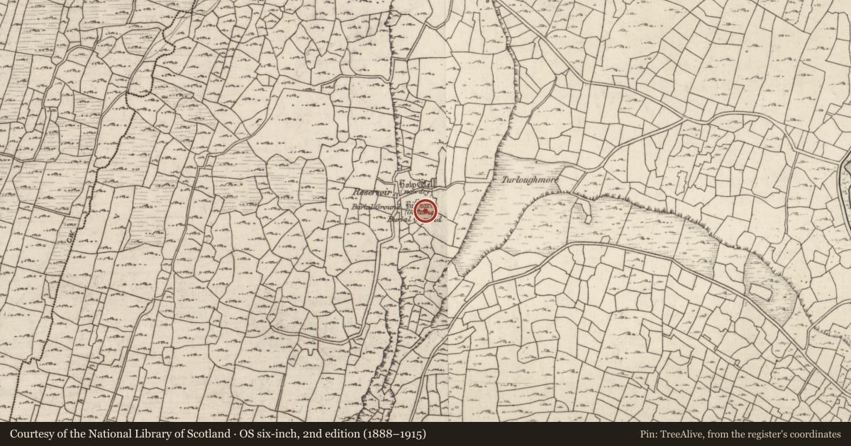
On S side of Inis Mór on a level terrace overlooked by higher ground to NW and SW. Known locally as Cill Charna. What survives are the foundation lines and lower courses of a drystone building (E-W; L 11.8m, Wth 5m) with a possible internal dividing wall at W end. No architectural features survive, but it may have been a church. An arc of grassed-over stone lies to SE which, if its line were projected, would enclose the building. The 2nd ed. of OS 6-inch map (1899) marks two burial grounds to W and S, of which no remains are visible. A holy well (GA110-159002-) stands immediately to ENE. A large recumbent stone, lying 35m to S, may be the cross-inscribed pillar described in OS Letters, but noted as lost by Crawford (1913, 155). (O'Flanagan 1927a, Vol. 3, 396; 1886, 493; Robinson 1980)
The above description is derived from the published 'Archaeological Inventory of County Galway Vol. I - West Galway'. Compiled by Paul Gosling (Dublin: Stationery Office, 1993).
Date of upload: 05 August 2010
Nearby in the register
- Ritual site - holy wellunder 1 mi
- Ecclesiastical enclosureunder 1 mi
- Graveyardunder 1 mi
- Buildingunder 1 mi
Other entries of the same register within about three miles of this one, by straight line.