Sites and Monuments Record · Ireland
House - early medieval
Cill Mhuirbhigh, County Galway, Ireland
The record
- Townland
- Cill Mhuirbhigh
- County
- Galway
- Country
- Ireland
- First-edition OS map
- Not indicated
- Latest-edition OS map
- Not indicated
- Coordinates
- 53.12536, -9.76736
- SMR number
- GA110-039022-
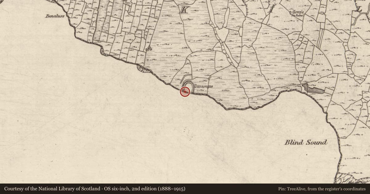
Slide toward Today to fade the historical sheet and see the modern map underneath.
David Rumsey Map Collection, Stanford LibrariesDavid Rumsey Map Collection, Stanford LibrariesDavid Rumsey Map Collection, Stanford LibrariesDavid Rumsey Map Collection, Stanford Libraries
4 historical maps cover this location, the earliest the 1753 map "Mappa geographica Regni Hiberniae" (David Rumsey Map Collection, Stanford Libraries).
Historical maps covering this location
- 1753 · Mappa geographica Regni Hiberniae (David Rumsey Map Collection, Stanford Libraries)
- 1790 · Composite: Ireland. (David Rumsey Map Collection, Stanford Libraries)
- 1869 · Ireland. (David Rumsey Map Collection, Stanford Libraries)
- 1891 · Ireland 16 (David Rumsey Map Collection, Stanford Libraries)
This record in the National Monuments Service's Historic Environment Viewer ↗
The National Monuments Service's description
This is one of four possible house sites (see also GA110-039021-, GA110-039023- and GA110-039024-) that were uncovered during the course of excavations in the SW part of Cutting 1, in the inner enclosure of Dún Aonghasa (GA110-039----). This example, identified as Structure 7, was located 1.5m to the S of Structure 1 (GA110-039021-). The only evidence of its existence consisted of an upright slab and a fragment of a second contiguous slab. They projected at a slight angle from the deposits underlying the enclosure wall. In size and appearance the blocks resembled the revetment wall in structures 1 and 9 (GA110-039023-). It was not possible to determine whether the remains had formed the N or S wall of the house. There was no trace of an occupation surface and no definitely associated features were identified (Cotter 2012, vol. 1, 349-50, 357, 360).
Compiled by: Olive Alcock
Date of upload: 23 June 2020
References
Cotter, C. 2012 The western stone forts project. Excavations at Dún Aonghasa and Dún Eoghanachta. 2 vols. Dublin. Wordwell Ltd.
Nearby in the register
- Excavation - miscellaneousunder 1 mi
- Hearthunder 1 mi
- Hearthunder 1 mi
- Excavation - miscellaneousunder 1 mi
Other entries of the same register within about three miles of this one, by straight line.