Sites and Monuments Record · Ireland
Wall monument
Eyrecourt Demesne, County Galway, Ireland
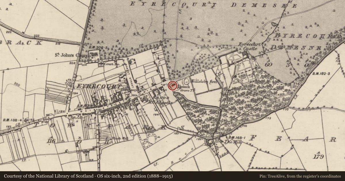
The record
- Townland
- Eyrecourt Demesne
- County
- Galway
- Country
- Ireland
- First-edition OS map
- Not indicated
- Latest-edition OS map
- Not indicated
- Coordinates
- 53.20064, -8.12656
- SMR number
- GA108-089002-
Slide toward Today to fade the historical sheet and see the modern map underneath.
David Rumsey Map Collection, Stanford LibrariesDavid Rumsey Map Collection, Stanford LibrariesDavid Rumsey Map Collection, Stanford LibrariesDavid Rumsey Map Collection, Stanford Libraries
4 historical maps cover this location, the earliest the 1790 map "Composite: Ireland." (David Rumsey Map Collection, Stanford Libraries).
Historical maps covering this location
- 1790 · Composite: Ireland. (David Rumsey Map Collection, Stanford Libraries)
- 1811 · Ireland. (David Rumsey Map Collection, Stanford Libraries)
- 1869 · Ireland. (David Rumsey Map Collection, Stanford Libraries)
- 1891 · Ireland 16 (David Rumsey Map Collection, Stanford Libraries)
This record in the National Monuments Service's Historic Environment Viewer ↗
The National Monuments Service's description
This framed wall monument is in the N wall of the church (GA108-089----). It commemorates the founder 'Johanes Eyre' and bears the following inscription (O'Flanagan 1927, Vol. 2 22):
Johanes Eyre de Eyr-court
Armiger proprys sumptibus
ad honorem cultvmque divin
um hanc edificavit ecclesia
am, Anno Domini, 1677.
Compiled by: Olive Alcock
Date of upload: 17 February 2020
References
O'Flanagan, Rev. M. (Compiler) 1927 Letters containing information relative to the antiquities of the county of Galway collected during the progress of the Ordnance Survey in 1839. Typescript in 3 vols. Bray.
Nearby in the register
- Churchunder 1 mi
- Graveyardunder 1 mi
- Ringfort - rathunder 1 mi
- Churchunder 1 mi
Other entries of the same register within about three miles of this one, by straight line.