Sites and Monuments Record · Ireland
Ringfort - cashel
Srah (Dunkellin By.), County Galway, Ireland
The record
- Townland
- Srah (Dunkellin By.)
- County
- Galway
- Country
- Ireland
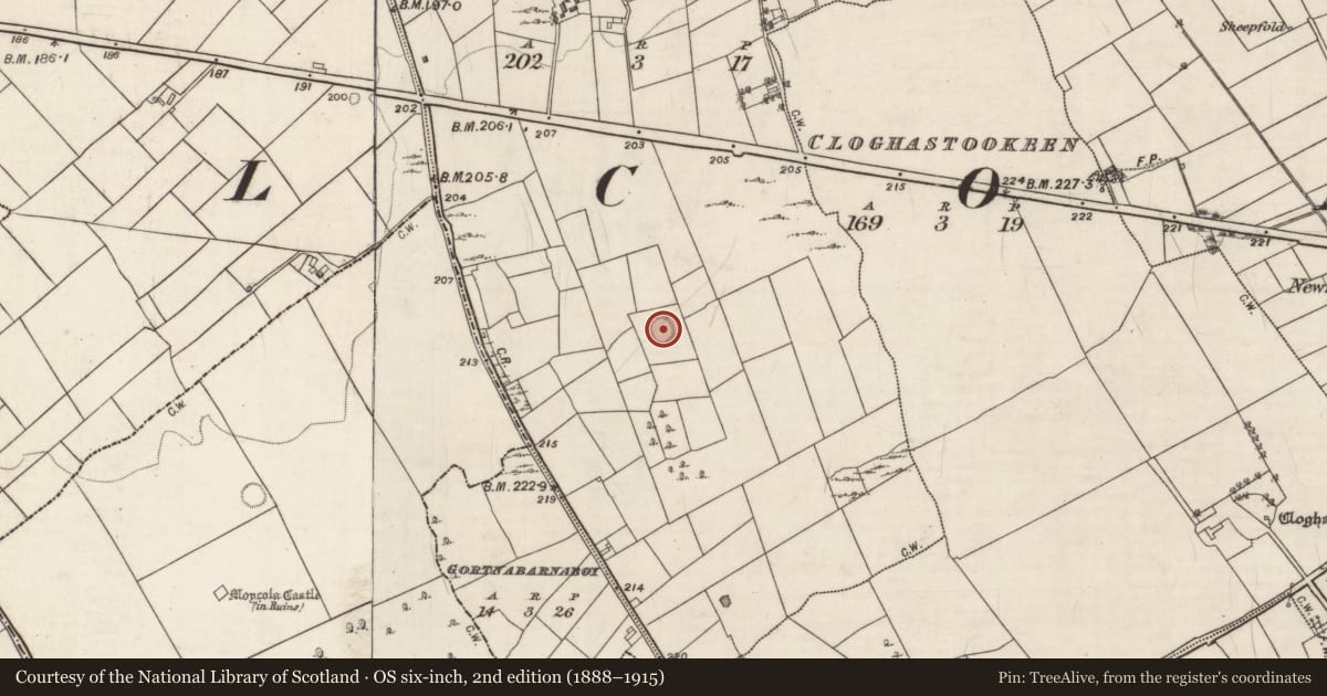
- First-edition OS map
- Hachured
- Latest-edition OS map
- Hachured
- Coordinates
- 53.20911, -8.66255
- SMR number
- GA105-186----
Slide toward Today to fade the historical sheet and see the modern map underneath.
David Rumsey Map Collection, Stanford LibrariesDavid Rumsey Map Collection, Stanford LibrariesDavid Rumsey Map Collection, Stanford LibrariesDavid Rumsey Map Collection, Stanford Libraries
4 historical maps cover this location, the earliest the 1753 map "Mappa geographica Regni Hiberniae" (David Rumsey Map Collection, Stanford Libraries).
Historical maps covering this location
- 1753 · Mappa geographica Regni Hiberniae (David Rumsey Map Collection, Stanford Libraries)
- 1790 · Composite: Ireland. (David Rumsey Map Collection, Stanford Libraries)
- 1869 · Ireland. (David Rumsey Map Collection, Stanford Libraries)
- 1891 · Ireland 16 (David Rumsey Map Collection, Stanford Libraries)
This record in the National Monuments Service's Historic Environment Viewer ↗
The National Monuments Service's description
In low-lying pastureland. Poorly preserved circular cashel (diam. 28m) defined by the grassed-over foundations of a drystone wall that is best preserved at SSE. A gap at NW may be modern. The interior is heavily overgrown with bushes and trees. (McCaffrey 1952, 261, no. 7)
Compiled by: Galway Archaeological Survey, UCG
Date of upload: 24 April 2018
References
McCaffrey, P. 1952 A contribution to the archaeology of the barony of Dunkellin, Co. Galway. Unpublished MA thesis, National University of Ireland, Galway.
Nearby in the register
- Ringfort - cashelunder 1 mi
- Castle - tower houseunder 1 mi
- Fulacht fiaunder 1 mi
- Ringfort - unclassifiedunder 1 mi
Other entries of the same register within about three miles of this one, by straight line.