Sites and Monuments Record · Ireland
Souterrain
Kiltiernan East, County Galway, Ireland
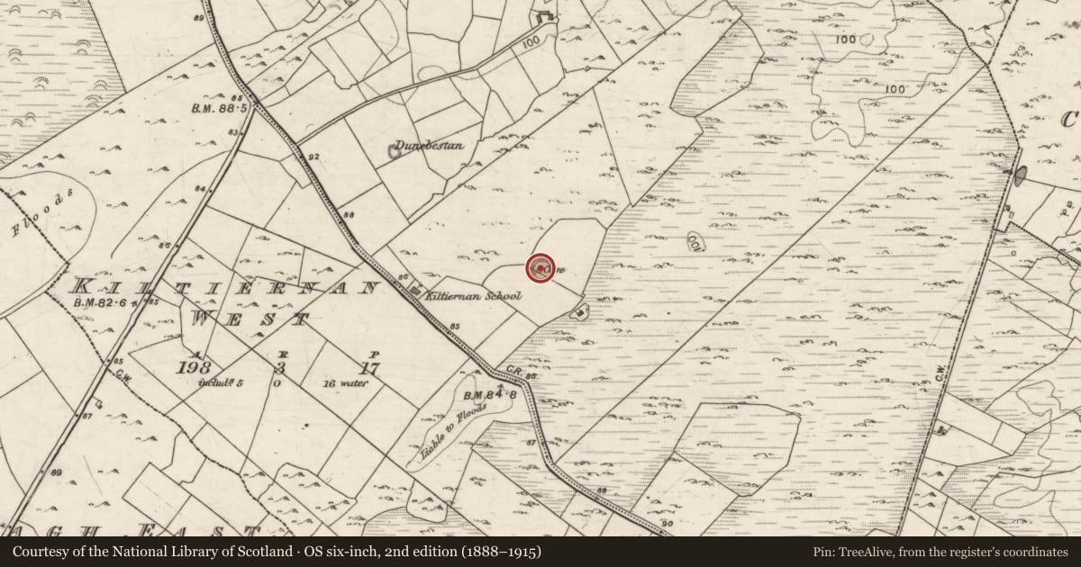
The record
- Townland
- Kiltiernan East
- County
- Galway
- Country
- Ireland
- First-edition OS map
- Not indicated
- Latest-edition OS map
- Souterrain
- Coordinates
- 53.17746, -8.83509
- SMR number
- GA103-142001-
Slide toward Today to fade the historical sheet and see the modern map underneath.
David Rumsey Map Collection, Stanford LibrariesDavid Rumsey Map Collection, Stanford LibrariesDavid Rumsey Map Collection, Stanford LibrariesDavid Rumsey Map Collection, Stanford Libraries
4 historical maps cover this location, the earliest the 1753 map "Mappa geographica Regni Hiberniae" (David Rumsey Map Collection, Stanford Libraries).
Historical maps covering this location
- 1753 · Mappa geographica Regni Hiberniae (David Rumsey Map Collection, Stanford Libraries)
- 1790 · Composite: Ireland. (David Rumsey Map Collection, Stanford Libraries)
- 1869 · Ireland. (David Rumsey Map Collection, Stanford Libraries)
- 1891 · Ireland 16 (David Rumsey Map Collection, Stanford Libraries)
This record in the National Monuments Service's Historic Environment Viewer ↗
The National Monuments Service's description
In the NW quadrant of a rath (GA103-142----). This inaccessible drystone-built souterrain consists of a passage (L >10m; Wth c. 1m; H 0.7m) running E-W. Some collapsed slabs indicate that it continued further to the E. There may have been a second chamber immediately to the N of the E end of the passage. (McCaffrey 1952, 199, no. 66)
Compiled by: Galway Archaeological Survey, UCG
Date of upload: 9 January 2018
References
McCaffrey, P. 1952 A contribution to the archaeology of the barony of Dunkellin, Co. Galway. Unpublished MA thesis, National University of Ireland, Galway.
Nearby in the register
- Ringfort - cashelunder 1 mi
- Enclosureunder 1 mi
- Souterrainunder 1 mi
- House - early medievalunder 1 mi
Other entries of the same register within about three miles of this one, by straight line.