Sites and Monuments Record · Ireland
Wall monument
Abbeypark, County Galway, Ireland
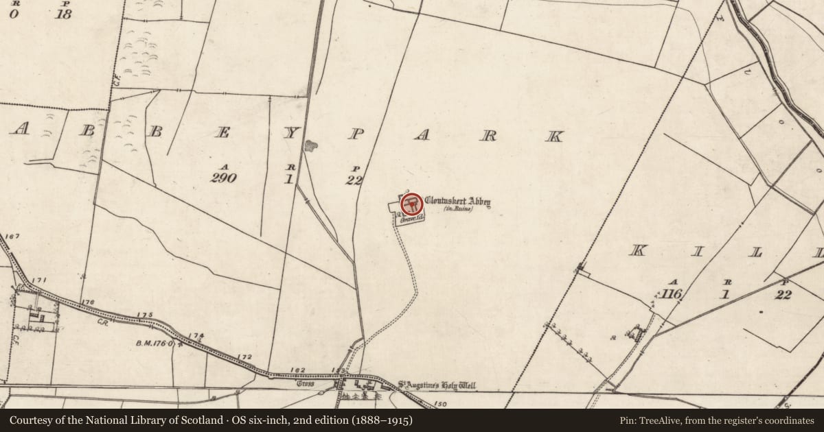
The record
- Townland
- Abbeypark
- County
- Galway
- Country
- Ireland
- First-edition OS map
- Not indicated
- Latest-edition OS map
- Not indicated
- Coordinates
- 53.28264, -8.21555
- SMR number
- GA088-001008-
Slide toward Today to fade the historical sheet and see the modern map underneath.
David Rumsey Map Collection, Stanford LibrariesDavid Rumsey Map Collection, Stanford LibrariesDavid Rumsey Map Collection, Stanford LibrariesDavid Rumsey Map Collection, Stanford Libraries
4 historical maps cover this location, the earliest the 1790 map "Composite: Ireland." (David Rumsey Map Collection, Stanford Libraries).
Historical maps covering this location
- 1790 · Composite: Ireland. (David Rumsey Map Collection, Stanford Libraries)
- 1811 · Ireland. (David Rumsey Map Collection, Stanford Libraries)
- 1869 · Ireland. (David Rumsey Map Collection, Stanford Libraries)
- 1891 · Ireland 16 (David Rumsey Map Collection, Stanford Libraries)
This record in the National Monuments Service's Historic Environment Viewer ↗
The National Monuments Service's description
This memorial stone has been inserted into the W end of the S wall of the chancel of Clontuskert priory (GA088-001----) at a height of 1.97m from ground level. The inscription reads: HERE. LES / THE / BVRI/AL. OF. THE / SEPT. OF. VR/CHARY. BRI/A[n] KELLY / THE 2 OFMAY / 1646 HIVGH K/ELLY WAS KI. The last line of the inscription is carved along the bottom of the frame and appears to be incomplete.
The following image has been uploaded: GA088-001008-_01.jpg
Compiled by: Paul Walsh, Olive Alcock
Date of upload: 25 July 2014
This monument is subject to a preservation order made under the National Monuments Acts 1930 to 2014 (PO no. 8/1970).
Nearby in the register
- Graveslabunder 1 mi
- Religious house - Augustinian canonsunder 1 mi
- Graveslabunder 1 mi
- Graveslabunder 1 mi
Other entries of the same register within about three miles of this one, by straight line.