Sites and Monuments Record · Ireland
Church
Lackagh Beg, County Galway, Ireland
The record
- Townland
- Lackagh Beg
- County
- Galway
- Country
- Ireland
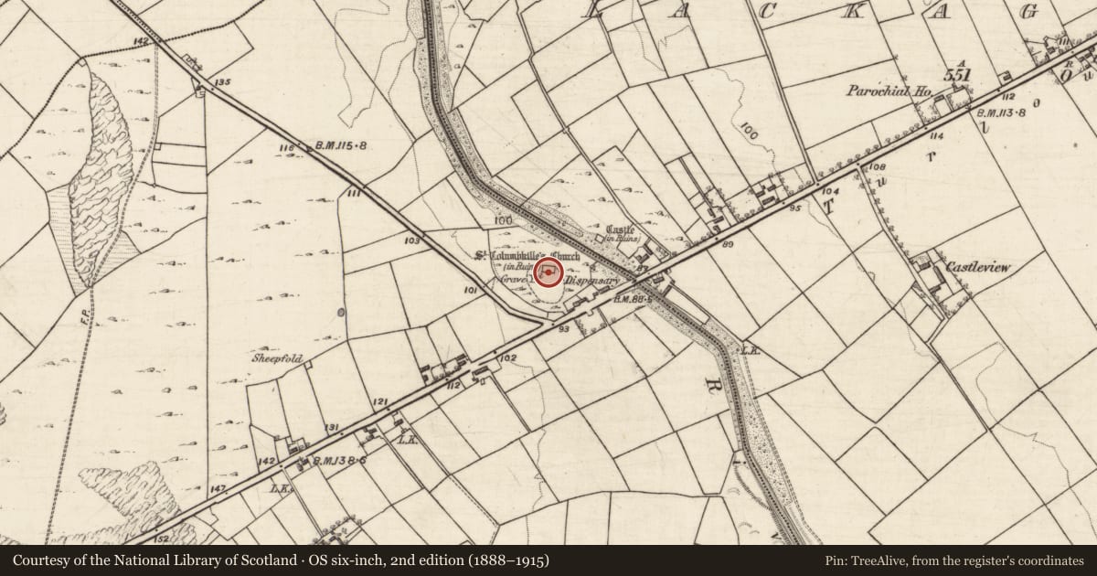
- First-edition OS map
- St. Columbkilles Church (in ruins)
- Latest-edition OS map
- St. Columbkilles Church (in Ruins)
- Coordinates
- 53.37526, -8.87692
- SMR number
- GA070-089----
Slide toward Today to fade the historical sheet and see the modern map underneath.
David Rumsey Map Collection, Stanford LibrariesDavid Rumsey Map Collection, Stanford LibrariesDavid Rumsey Map Collection, Stanford LibrariesDavid Rumsey Map Collection, Stanford Libraries
4 historical maps cover this location, the earliest the 1753 map "Mappa geographica Regni Hiberniae" (David Rumsey Map Collection, Stanford Libraries).
Historical maps covering this location
- 1753 · Mappa geographica Regni Hiberniae (David Rumsey Map Collection, Stanford Libraries)
- 1790 · Composite: Ireland. (David Rumsey Map Collection, Stanford Libraries)
- 1869 · Ireland. (David Rumsey Map Collection, Stanford Libraries)
- 1891 · Ireland 16 (David Rumsey Map Collection, Stanford Libraries)
This record in the National Monuments Service's Historic Environment Viewer ↗
The National Monuments Service's description
On SW bank of the River Clare in undulating farmland; it stands on N boundary of an irregularly shaped graveyard (GA070-089001-) just upstream from 'Lackagh Bridge'. The remains are those of a rectangular medieval parish church (E-W; L 15.4m, Wth 7.1m) in fair condition. Though little survives of E gable, the other walls still stand to full height. There is a pointed arch doorway towards W end of S wall. Traces of a blocked window ope are also visible internally at E end of same wall. A castle (GA070-091----) stands 70m to NE on opposite bank of the river. (O'Flanagan 1927, Vol. 1, 287)
The above description is derived from the published 'Archaeological Inventory of County Galway Vol. II - North Galway'. Compiled by Olive Alcock, Kathy de hÓra and Paul Gosling (Dublin: Stationery Office, 1999).
Date of upload: 05 August 2010
This monument is subject to a preservation order made under the National Monuments Acts 1930 to 2014 (PO no. 2/2002).
Nearby in the register
- Graveyardunder 1 mi
- Castle - tower houseunder 1 mi
- Souterrainunder 1 mi
- Architectural fragmentunder 1 mi
Other entries of the same register within about three miles of this one, by straight line.