Sites and Monuments Record · Ireland
Enclosure
Creggaun (Dillon),Creggaun (Killian By.), County Galway, Ireland
The record
- Townland
- Creggaun (Dillon),Creggaun (Killian By.)
- County
- Galway
- Country
- Ireland
- First-edition OS map
- Not indicated
- Latest-edition OS map
- Not indicated
- Coordinates
- 53.43196, -8.34828
- SMR number
- GA061-072----
Slide toward Today to fade the historical sheet and see the modern map underneath.
David Rumsey Map Collection, Stanford LibrariesDavid Rumsey Map Collection, Stanford LibrariesDavid Rumsey Map Collection, Stanford LibrariesDavid Rumsey Map Collection, Stanford Libraries
4 historical maps cover this location, the earliest the 1790 map "Composite: Ireland." (David Rumsey Map Collection, Stanford Libraries).
Historical maps covering this location
- 1790 · Composite: Ireland. (David Rumsey Map Collection, Stanford Libraries)
- 1811 · Ireland. (David Rumsey Map Collection, Stanford Libraries)
- 1869 · Ireland. (David Rumsey Map Collection, Stanford Libraries)
- 1891 · Ireland 16 (David Rumsey Map Collection, Stanford Libraries)
This record in the National Monuments Service's Historic Environment Viewer ↗
The National Monuments Service's description
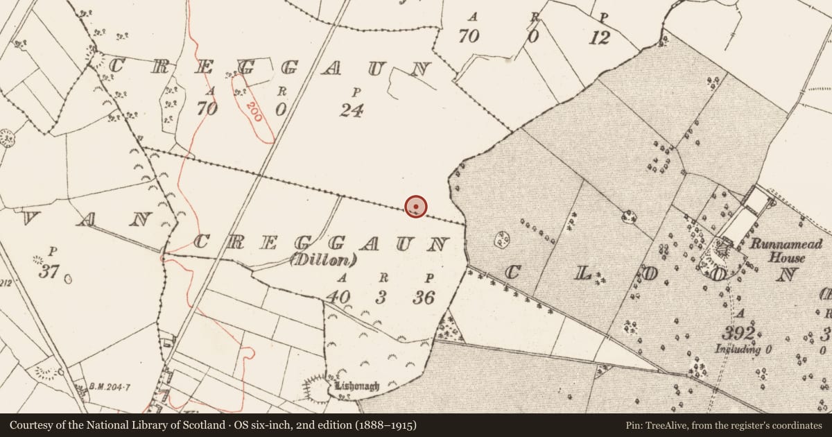
On level marshy ground. On inspection in January 1984, this poorly preserved roughly rectangular enclosure (44m N-S; 37m E-W) was defined by a denuded bank (Wth 1.1m; int. H 0.35m; ext. H 0.9m) from SSE to WSW and by a scarp (av. H 0.8m) from WSW through N to SSE. Tentative traces of a possible very shallow external fosse (Wth c. 1m) were visible. A townland boundary wall cut across the S sector of the interior, from roughly ESE to WSW and the bank was only evident to the S of it. There were faint traces of N-S running lazy beds in the interior, which otherwise was clear. On re-inspection in November 2001, the area to the N of the townland boundary, about three quarters of the monument, was completely planted with trees. (Alcock et al., 1999, 187, no. 2465)
Compiled by: Olive Alcock
Date of upload: 17 August 2023
References
Alcock, O., de Hora, K. and Gosling, P. 1999 Archaeological Inventory of County Galway. Vol. II. North Galway. Dublin. Stationery Office.
Nearby in the register
- Ringfort - unclassifiedunder 1 mi
- Fulacht fiaunder 1 mi
- Designed landscape featureunder 1 mi
- Ringfort - rathunder 1 mi
Other entries of the same register within about three miles of this one, by straight line.