Sites and Monuments Record · Ireland
Church
Abbert Demesne, County Galway, Ireland
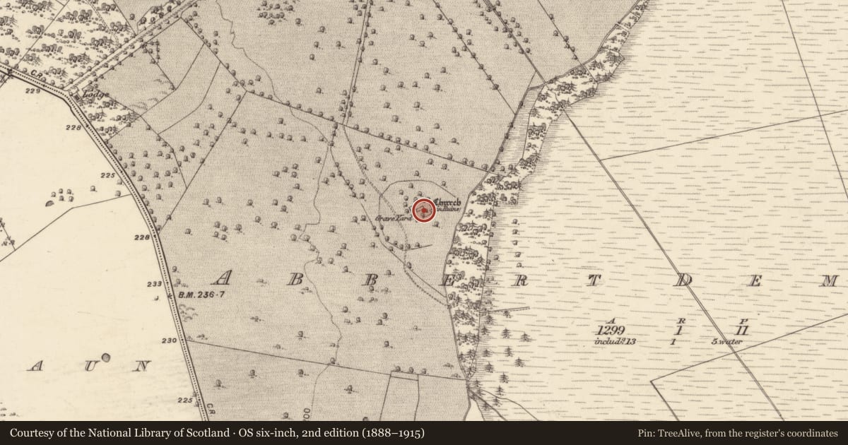
The record
- Townland
- Abbert Demesne
- County
- Galway
- Country
- Ireland
- First-edition OS map
- Church
- Latest-edition OS map
- Church (in Ruins)
- Coordinates
- 53.42636, -8.68345
- SMR number
- GA058-002002-
Slide toward Today to fade the historical sheet and see the modern map underneath.
David Rumsey Map Collection, Stanford LibrariesDavid Rumsey Map Collection, Stanford LibrariesDavid Rumsey Map Collection, Stanford LibrariesDavid Rumsey Map Collection, Stanford Libraries
4 historical maps cover this location, the earliest the 1753 map "Mappa geographica Regni Hiberniae" (David Rumsey Map Collection, Stanford Libraries).
Historical maps covering this location
- 1753 · Mappa geographica Regni Hiberniae (David Rumsey Map Collection, Stanford Libraries)
- 1790 · Composite: Ireland. (David Rumsey Map Collection, Stanford Libraries)
- 1869 · Ireland. (David Rumsey Map Collection, Stanford Libraries)
- 1891 · Ireland 16 (David Rumsey Map Collection, Stanford Libraries)
This record in the National Monuments Service's Historic Environment Viewer ↗
The National Monuments Service's description
Roughly centrally placed within an early ecclesiastical enclosure (GA058-001----). Well-preserved but ivy-mantled rectangular church (NE-SW; L 17m, Wth 7.6m), which in its present form appears to be largely of 18-19th-C date. A pointed arch doorway in SW gable gives access to the interior which is lit by two single-light windows in NW wall. A circular arch in NE gable gives access to a small rectangular apse which is occupied by a plain table tomb aligned NE-SW. The apse is lit by a twin-light pointed arch window complete with glazing bars. The walls survive to almost full height and their internal faces are rendered. Possibly a medieval church refurbished as a mortuary or private chapel.
The above description is derived from the published 'Archaeological Inventory of County Galway Vol. II - North Galway'. Compiled by Olive Alcock, Kathy de hÓra and Paul Gosling (Dublin: Stationery Office, 1999).
Date of upload: 05 August 2010
This monument was taken into Ownership under the National Monuments Acts 1930 to 2014 - National Monument 278.
Nearby in the register
- Graveyardunder 1 mi
- Ecclesiastical enclosureunder 1 mi
- Country houseunder 1 mi
- Enclosureunder 1 mi
Other entries of the same register within about three miles of this one, by straight line.