Sites and Monuments Record · Ireland
Castle - tower house
An Más, County Galway, Ireland
The record
- Townland
- An Más
- County
- Galway
- Country
- Ireland
- First-edition OS map
- Castle
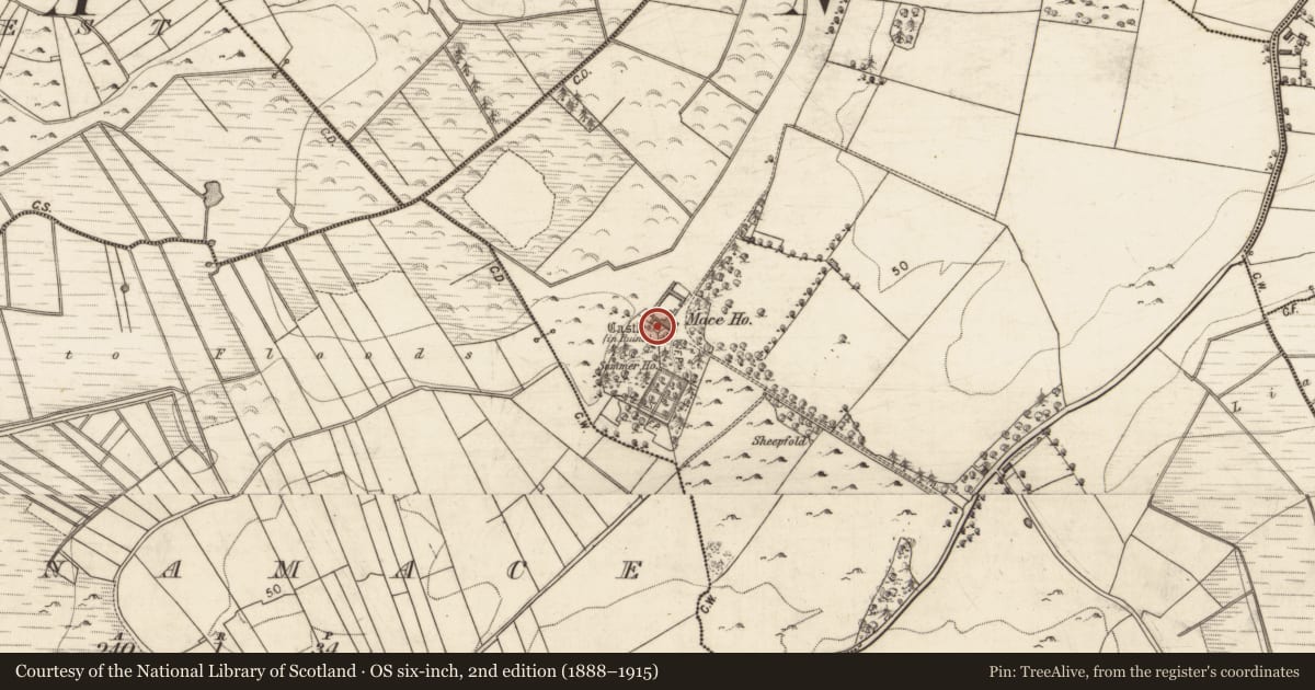
- Latest-edition OS map
- Castle (in Ruins)
- Coordinates
- 53.39905, -9.03428
- SMR number
- GA056-112----
Slide toward Today to fade the historical sheet and see the modern map underneath.
David Rumsey Map Collection, Stanford LibrariesDavid Rumsey Map Collection, Stanford LibrariesDavid Rumsey Map Collection, Stanford LibrariesDavid Rumsey Map Collection, Stanford Libraries
4 historical maps cover this location, the earliest the 1753 map "Mappa geographica Regni Hiberniae" (David Rumsey Map Collection, Stanford Libraries).
Historical maps covering this location
- 1753 · Mappa geographica Regni Hiberniae (David Rumsey Map Collection, Stanford Libraries)
- 1790 · Composite: Ireland. (David Rumsey Map Collection, Stanford Libraries)
- 1869 · Ireland. (David Rumsey Map Collection, Stanford Libraries)
- 1891 · Ireland 16 (David Rumsey Map Collection, Stanford Libraries)
This record in the National Monuments Service's Historic Environment Viewer ↗
The National Monuments Service's description
In a low-lying wooded area. In existence in 1574 when it was in the possession of 'Walter fitz Ab fitz Ed.' (Nolan 1901b, 118). A poorly preserved ivy-covered tower: only NE wall (L 9.4m) and the returns of SE and NW walls (L c. 4m) survive to a height of three storeys. A pointed arch doorway in NE wall gives access to a small lobby with the guardroom to N and the shell of the spiral stairs to S. There is no evidence of a vault. An intramural chamber is visible in NE wall on 1st floor. Windows consist of rectangular and round-headed slits, a gun loop is visible beneath one in SE wall, and a possible ogee-headed window in NE wall.
The above description is derived from the published 'Archaeological Inventory of County Galway Vol. II - North Galway'. Compiled by Olive Alcock, Kathy de hÓra and Paul Gosling (Dublin: Stationery Office, 1999).
Date of upload: 05 August 2010
References
Nolan, J.P. 1901c Galway castles and owners in 1574. Journal of the Galway Archaeological and Historical Society 1, 109-23.
Nearby in the register
- Country houseunder 1 mi
- Enclosureunder 1 mi
- Ringfort - unclassifiedunder 1 mi
- Enclosureunder 1 mi
Other entries of the same register within about three miles of this one, by straight line.