Sites and Monuments Record · Ireland
Field system
Sheeauns, County Galway, Ireland
The record
- Townland
- Sheeauns
- County
- Galway
- Country
- Ireland
- First-edition OS map
- Not indicated
- Latest-edition OS map
- Not indicated
- Coordinates
- 53.55517, -10.07087
- SMR number
- GA022-077----
Slide toward Today to fade the historical sheet and see the modern map underneath.
David Rumsey Map Collection, Stanford LibrariesDavid Rumsey Map Collection, Stanford LibrariesDavid Rumsey Map Collection, Stanford LibrariesDavid Rumsey Map Collection, Stanford Libraries
4 historical maps cover this location, the earliest the 1790 map "Composite: Ireland." (David Rumsey Map Collection, Stanford Libraries).
Historical maps covering this location
- 1790 · Composite: Ireland. (David Rumsey Map Collection, Stanford Libraries)
- 1841 · Ireland. (David Rumsey Map Collection, Stanford Libraries)
- 1869 · Ireland. (David Rumsey Map Collection, Stanford Libraries)
- 1891 · Ireland 16 (David Rumsey Map Collection, Stanford Libraries)
This record in the National Monuments Service's Historic Environment Viewer ↗
The National Monuments Service's description
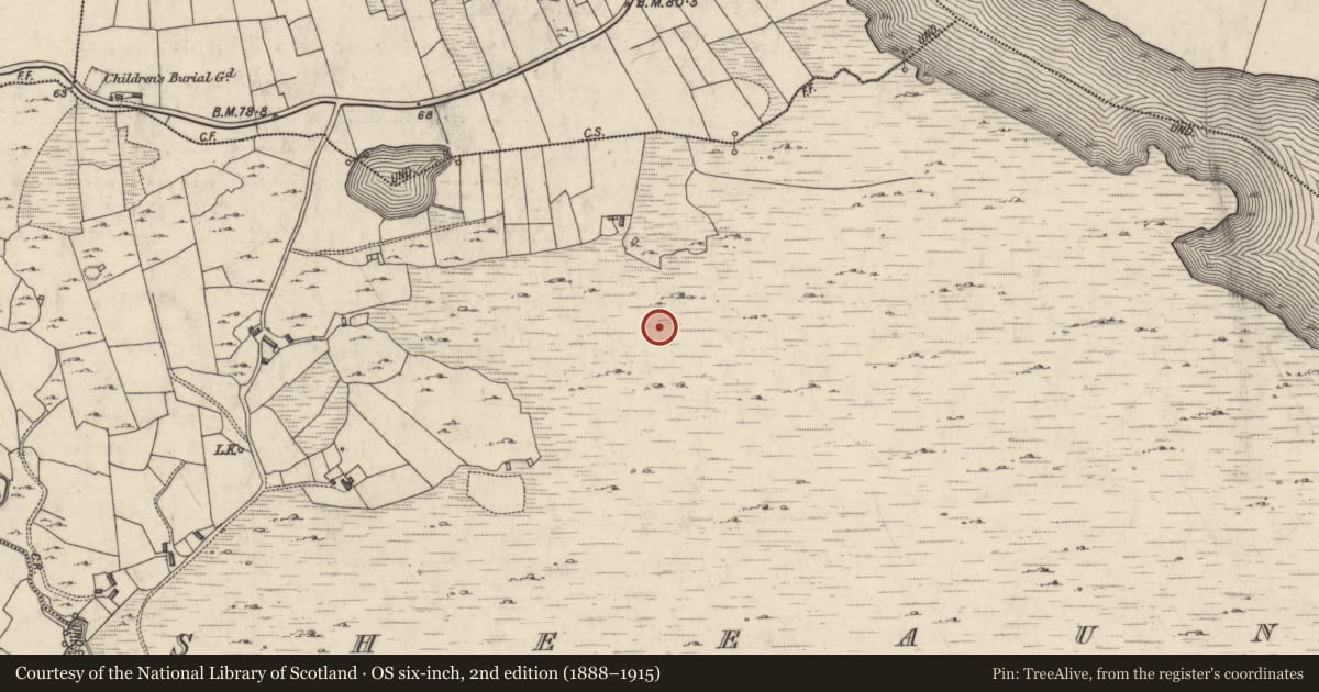
In cutaway bog on N-facing hillslope to S of Lough Sheeauns. Comprises a large number (over ten to date) of discontinuous stretches of pre-bog field walls which form no obvious pattern, and at least one possible field clearance cairn. They cover an area c, 700m E-W by 400m N-S and are visible as low stony banks. A cutting through one wall revealed it to be built of quartz boulders revetting a rubble core (Wth 1.6m, H 0.9m). These walls are part of a complex of monuments centred on Lough Sheeauns (GA022-006----); within the area occupied by the walls themselves is a court-tomb (GA022-106----), a stone row (GA022-060----), and the remains of a number of houses (GA022-113----), but their exact relationship to any of the walls is unknown. (Gibbons and Higgins 1988b)
The above description is derived from the published 'Archaeological Inventory of County Galway Vol. I - West Galway'. Compiled by Paul Gosling (Dublin: Stationery Office, 1993).
Date of upload: 05 August 2010
Nearby in the register
- House - indeterminate dateunder 1 mi
- House - indeterminate dateunder 1 mi
- House - indeterminate dateunder 1 mi
- Enclosureunder 1 mi
Other entries of the same register within about three miles of this one, by straight line.