Sites and Monuments Record · Ireland
Enclosure
Gooreen, County Galway, Ireland
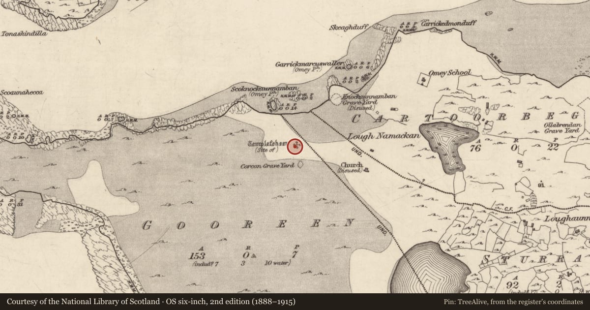
The record
- Townland
- Gooreen
- County
- Galway
- Country
- Ireland
- First-edition OS map
- Not indicated
- Latest-edition OS map
- Not indicated
- Coordinates
- 53.53579, -10.16796
- SMR number
- GA021-017001-
Slide toward Today to fade the historical sheet and see the modern map underneath.
David Rumsey Map Collection, Stanford LibrariesDavid Rumsey Map Collection, Stanford LibrariesDavid Rumsey Map Collection, Stanford LibrariesDavid Rumsey Map Collection, Stanford Libraries
4 historical maps cover this location, the earliest the 1790 map "Composite: Ireland." (David Rumsey Map Collection, Stanford Libraries).
Historical maps covering this location
- 1790 · Composite: Ireland. (David Rumsey Map Collection, Stanford Libraries)
- 1841 · Ireland. (David Rumsey Map Collection, Stanford Libraries)
- 1869 · Ireland. (David Rumsey Map Collection, Stanford Libraries)
- 1891 · Ireland 16 (David Rumsey Map Collection, Stanford Libraries)
This record in the National Monuments Service's Historic Environment Viewer ↗
The National Monuments Service's description
Close to N shore of Omey Island. A much-ruined medieval church (WNW-ESE; L 13.65m, Wth 7.15m) (GA021-017----) on or close to site of 7th-C foundation of St Fechin. Totally sand-covered until an illegal excavation uncovered it in 1981. There is a doorway in N wall and lancet window set off-centre in E gable. The W gable contains a blocked trabeate doorway also set off-centre (info. E. Rynne). The church lies within a rectangular, stone-built enclosure (>19.4m by >8.1m) (GA021-017001-) visible to W and S. This contained burials stratigraphically later than the church. No visible traces found of the graveyard (GA021-018----) marked on OS 6-inch maps 50m to S. For list of other remains on island see index. (Gwynn and Hadcock 1970, 400; Macalister 1896b, 253; O'Flanagan 1927a, Vol. 3, 75, 79)
The above description is derived from the published 'Archaeological Inventory of County Galway Vol. I - West Galway'. Compiled by Paul Gosling (Dublin: Stationery Office, 1993).
Date of upload: 09 June 2022
Nearby in the register
Other entries of the same register within about three miles of this one, by straight line.