Sites and Monuments Record · Ireland
Rock art
Carrickmines Great, County Dublin, Ireland
The record
- Townland
- Carrickmines Great
- County
- Dublin
- Country
- Ireland
- First-edition OS map
- Not indicated
- Latest-edition OS map
- Not indicated
- Coordinates
- 53.25298, -6.17496
- SMR number
- DU026-146----
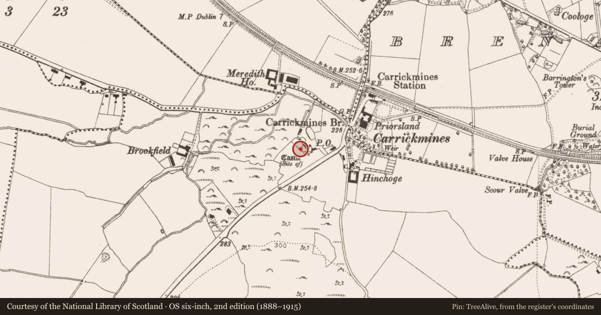
Slide toward Today to fade the historical sheet and see the modern map underneath.
David Rumsey Map Collection, Stanford LibrariesDavid Rumsey Map Collection, Stanford LibrariesDavid Rumsey Map Collection, Stanford LibrariesDavid Rumsey Map Collection, Stanford Libraries
4 historical maps cover this location, the earliest the 1799 map "Ireland." (David Rumsey Map Collection, Stanford Libraries).
Historical maps covering this location
- 1799 · Ireland. (David Rumsey Map Collection, Stanford Libraries)
- 1811 · Ireland. (David Rumsey Map Collection, Stanford Libraries)
- 1841 · Ireland. (David Rumsey Map Collection, Stanford Libraries)
- 1891 · Ireland 16 (David Rumsey Map Collection, Stanford Libraries)
This record in the National Monuments Service's Historic Environment Viewer ↗
The National Monuments Service's description
This is one of three small boulders (DU026-145/147----) containing cup-marks which were discovered during archaeological investigations on the route of the South-Eastern Motorway (Clinton 2002, 87; 2004, 131).
Rock B described by Dr Muriris O'Sullivan as a; 'Slightly rounded granite boulder (00E0525:1:6094). The surface into which the cupmarks are carved is convex in form with a fault line running along the centre of the face for approximately half its length. This face measures 0.60m x 0.48m. There are at least nine cupmarks to be seen on the face, generally clustered near the centre and arranged in two loose arcs, with an outlier. Three of them are formed along the fault line and these might conceivably be natural' (Breen 2012, 397).
Breen, T. 2012 Report on the Findings of the Archaeological Excavations at Carrickmines, Co. Dublin - Carried out under licences 00E0525, 02E1532 and Ministerial Directions. M50 South-eastern Motorway Scheme
4 volumes. Prepared on behalf of V.J. Keely Ltd. for Dun Laoghaire-Rathdown County Council.
See attached drawing of rock art taken from Breen 2012, Fig. 8.3.2
Compiled by: Geraldine Stout and Padraig Clancy.
Revised by: Caimin O'Brien
Date of revised upload: 4 January 2023
References
Clinton, M. 2002 Clomoney North. I. Bennett (ed.) Excavations 2000. Summary accounts of archaeological excavations in Ireland, 22-4, No. 63. Wordwell. Dublin
Nearby in the register
- Rock artunder 1 mi
- Burialunder 1 mi
- House - medievalunder 1 mi
- Buildingunder 1 mi
Other entries of the same register within about three miles of this one, by straight line.