Sites and Monuments Record · Ireland
Fulacht fia
Shankill, County Dublin, Ireland
The record
- Townland
- Shankill
- County
- Dublin
- Country
- Ireland
- Latest-edition OS map
- Not indicated
- Coordinates
- 53.21687, -6.15267
- SMR number
- DU026-138----
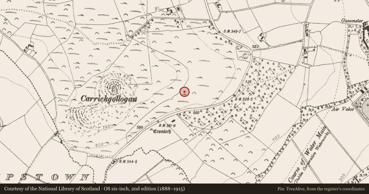
Slide toward Today to fade the historical sheet and see the modern map underneath.
David Rumsey Map Collection, Stanford LibrariesDavid Rumsey Map Collection, Stanford LibrariesDavid Rumsey Map Collection, Stanford LibrariesDavid Rumsey Map Collection, Stanford Libraries
4 historical maps cover this location, the earliest the 1799 map "Ireland." (David Rumsey Map Collection, Stanford Libraries).
Historical maps covering this location
- 1799 · Ireland. (David Rumsey Map Collection, Stanford Libraries)
- 1811 · Ireland. (David Rumsey Map Collection, Stanford Libraries)
- 1841 · Ireland. (David Rumsey Map Collection, Stanford Libraries)
- 1891 · Ireland 16 (David Rumsey Map Collection, Stanford Libraries)
This record in the National Monuments Service's Historic Environment Viewer ↗
The National Monuments Service's description
During topsoil monitoring in 1998 a spread of burnt stone (shale and granite) and charcoal was uncovered, it extended for at least 7m east and was at least 8m long (north-south). This deposit was up to 0.4m deep. The natural subsoil below the site was irregular and appeared to have been altered in the past. There was a rectangular trough associated with this spread of material, lying down slope to the east. The trough had been truncated by a field drain but originally measured c. 1.8m x 1.3m and was 0.5m deep. Two post-holes were identified in the surviving corners, suggesting that there had originally been a wooden lining that was deliberately removed in the past or had since rotted away (O'Neill 2000, 38).
Compiled by: Geraldine Stout and Padraig Clancy.
Revised upload on: 21 April 2018.
References
O'Neill, J. 2000 Carrickmines- Bray Gas Pipeline, Carrickmines Great/ Laughanstown/Ticknick/ Rathmichael/ Shankill/ Ballyman. In I. Bennett (ed.), Excavations 1998: summary accounts of archaeological excavations in Ireland, 37-9. Bray. Wordwell.
Nearby in the register
- Megalithic tomb - wedge tombunder 1 mi
- Ringfort - unclassifiedunder 1 mi
- Enclosureunder 1 mi
- Megalithic tomb - unclassifiedunder 1 mi
Other entries of the same register within about three miles of this one, by straight line.