Sites and Monuments Record · Ireland
Castle - unclassified
Shanganagh, County Dublin, Ireland
The record
- Townland
- Shanganagh
- County
- Dublin
- Country
- Ireland
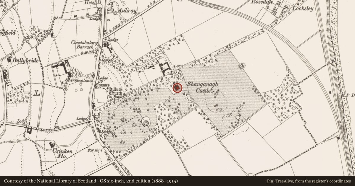
- Latest-edition OS map
- Shanganagh Castle
- Coordinates
- 53.22635, -6.11888
- SMR number
- DU026-120----
Slide toward Today to fade the historical sheet and see the modern map underneath.
David Rumsey Map Collection, Stanford LibrariesDavid Rumsey Map Collection, Stanford LibrariesDavid Rumsey Map Collection, Stanford LibrariesDavid Rumsey Map Collection, Stanford Libraries
4 historical maps cover this location, the earliest the 1799 map "Ireland." (David Rumsey Map Collection, Stanford Libraries).
Historical maps covering this location
- 1799 · Ireland. (David Rumsey Map Collection, Stanford Libraries)
- 1811 · Ireland. (David Rumsey Map Collection, Stanford Libraries)
- 1841 · Ireland. (David Rumsey Map Collection, Stanford Libraries)
- 1891 · Ireland 16 (David Rumsey Map Collection, Stanford Libraries)
This record in the National Monuments Service's Historic Environment Viewer ↗
The National Monuments Service's description
Nineteenth century correspondence relating to alterations being undertaken at Shanganagh Castle mention the remains of an old castle. Two cannon shot were recovered from the site prior to its re-building (Turner 1987, 58). The castle is located east of Kiltuc Church (DU026-054001-) at the foot of the Dublin Mountains.
Compiled by: Geraldine Stout and Padraig Clancy.
Revised upload on: 21 April 2018.
References
Turner, K. 1983 If you seek monuments: a guide to the antiquities of the barony of Rathdown. Rathmichael Historical Society.
Nearby in the register
- Brickworksunder 1 mi
- Enclosureunder 1 mi
- Fulacht fiaunder 1 mi
- Ring-ditchunder 1 mi
Other entries of the same register within about three miles of this one, by straight line.