Sites and Monuments Record · Ireland
Designed landscape - tree-ring
Jamestown (Rathdown By.), County Dublin, Ireland
The record
- Townland
- Jamestown (Rathdown By.)
- County
- Dublin
- Country
- Ireland
- Coordinates
- 53.24640, -6.19797
- SMR number
- DU026-016----
Slide toward Today to fade the historical sheet and see the modern map underneath.
David Rumsey Map Collection, Stanford LibrariesDavid Rumsey Map Collection, Stanford LibrariesDavid Rumsey Map Collection, Stanford LibrariesDavid Rumsey Map Collection, Stanford Libraries
4 historical maps cover this location, the earliest the 1799 map "Ireland." (David Rumsey Map Collection, Stanford Libraries).
Historical maps covering this location
- 1799 · Ireland. (David Rumsey Map Collection, Stanford Libraries)
- 1811 · Ireland. (David Rumsey Map Collection, Stanford Libraries)
- 1841 · Ireland. (David Rumsey Map Collection, Stanford Libraries)
- 1891 · Ireland 16 (David Rumsey Map Collection, Stanford Libraries)
This record in the National Monuments Service's Historic Environment Viewer ↗
The National Monuments Service's description
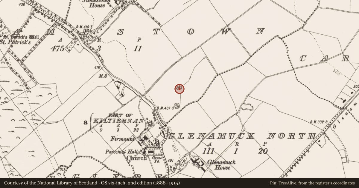
This site is located in a low lying heavily landscaped area. There were two ring features, now removed, which are thought to be tree rings (Healy 1975).
Compiled by: Geraldine Stout and Padraig Clancy.
Revised upload on: 14 April 2018.
References
Healy, P. 1975b Third report on monuments and sites of archaeological interest in county Dublin. An Foras Forbartha, Dublin.
Healy, P. 1975a Second report on monuments and sites of archaeological interest in county Dublin. An Foras Forbartha Teoranta.
Nearby in the register
- Designed landscape - tree-ringunder 1 mi
- Fulacht fiaunder 1 mi
- Cistunder 1 mi
- Ring-ditchunder 1 mi
Other entries of the same register within about three miles of this one, by straight line.