Sites and Monuments Record · Ireland
Habitation site
Dalkey, County Dublin, Ireland
The record
- Townland
- Dalkey
- County
- Dublin
- Country
- Ireland
- Latest-edition OS map
- Not indicated
- Coordinates
- 53.27803, -6.10758
- SMR number
- DU023-064001-
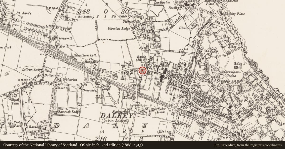
Slide toward Today to fade the historical sheet and see the modern map underneath.
David Rumsey Map Collection, Stanford LibrariesDavid Rumsey Map Collection, Stanford LibrariesDavid Rumsey Map Collection, Stanford LibrariesDavid Rumsey Map Collection, Stanford Libraries
4 historical maps cover this location, the earliest the 1799 map "Ireland." (David Rumsey Map Collection, Stanford Libraries).
Historical maps covering this location
- 1799 · Ireland. (David Rumsey Map Collection, Stanford Libraries)
- 1811 · Ireland. (David Rumsey Map Collection, Stanford Libraries)
- 1841 · Ireland. (David Rumsey Map Collection, Stanford Libraries)
- 1891 · Ireland 16 (David Rumsey Map Collection, Stanford Libraries)
This record in the National Monuments Service's Historic Environment Viewer ↗
The National Monuments Service's description
A habitation site excavated at 62 Castle Street by John Kavanagh under licence 02E1871. The earliest phase of activity identified on the site was characterised by a series of features associated with a medieval burgage plot. The plot was defined by a ditch and drain along the E boundary of the site. Numerous domestic rubbish pits were found within the area of the burgage plot. Several post-holes, stake-holes and hearths, located along the S edge of a metalled surface, suggested a habitation area at the N end of the site. The pottery assemblage recovered from these features would indicate a mid-12th- to late 14th-century date. Other artefacts included a bone spindle whorl, and iron knife, fragments of rotary querns and several fragments of green glazed floor tiles. A substantial stone building (DU023-064001-) was constructed directly over the medieval habitation area. The building occupied the NW corner of the site and extended out under Dalkey Avenue to the W.
Compiled by: Geraldine Stout and Padraig Clancy
Revised upload on: 6 July 2018
Nearby in the register
- Buildingunder 1 mi
- Castle - unclassifiedunder 1 mi
- Cross-inscribed stoneunder 1 mi
- Castle - tower houseunder 1 mi
Other entries of the same register within about three miles of this one, by straight line.